Guinea-Bissau
/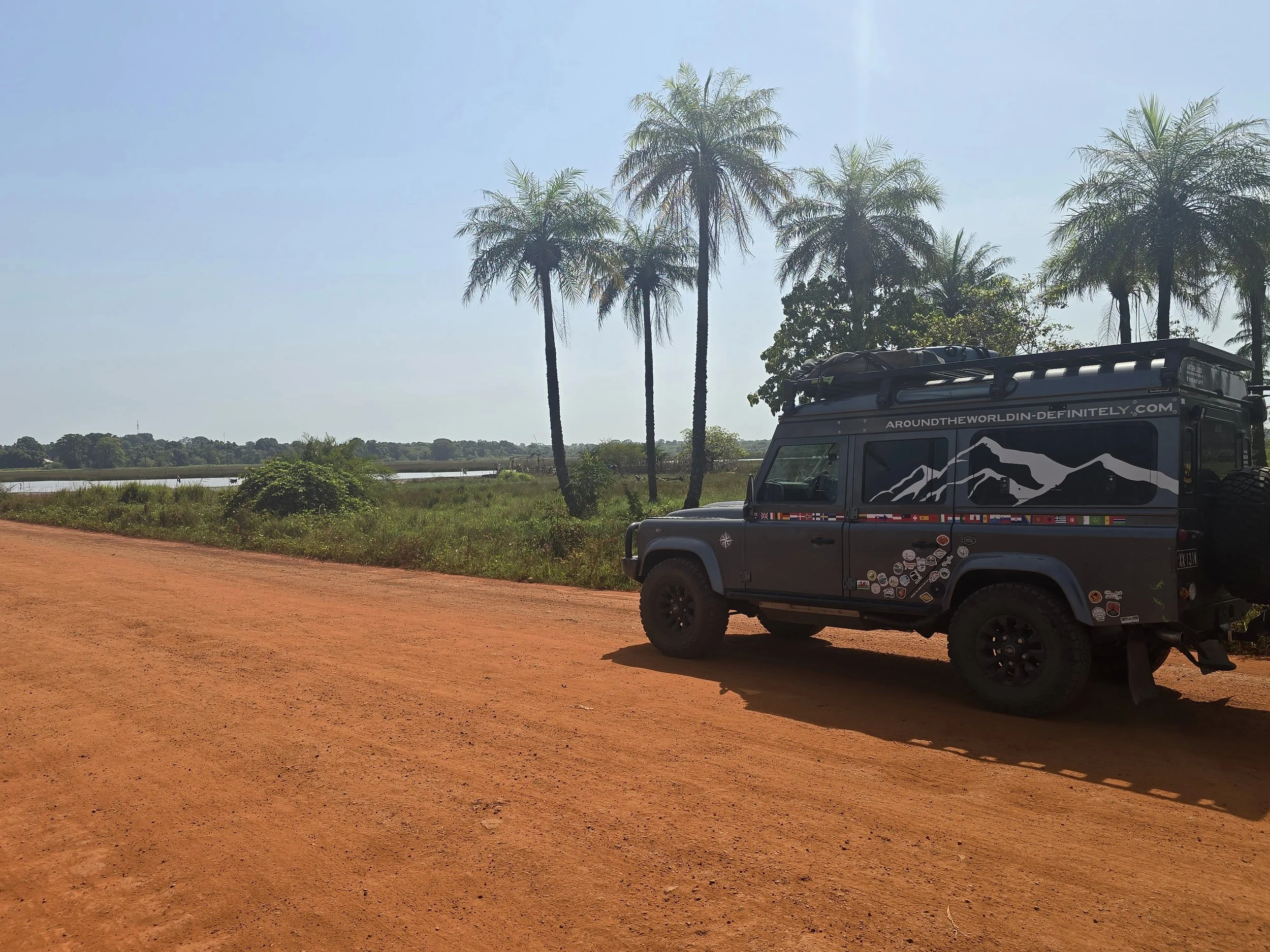
road to guinnea-bissau
Leaving Ziguinchor, the capital of the Casamance region, the road to the border with Guinea Bissau was without mishap, mainly due to the fact that we managed to dodge the traffic cop who tried to flag us down. The border crossing with our newly acquired Carnet de Passage also went smoothly and provided more insight into Western African life. We were stamped out of Senegal in less than 15 minutes and pointed onto a short stretch of dusty no-man’s land which deposited us at the official border of Bissau – a metre high rope strung across the road between two large trees. A group of officials relaxing in plastic chairs under the larger of the trees motioned us towards a tiny shed where, for the first time since arriving in Africa, we were asked to pay road tax of €8. This did seem a bit incongruous given that both of the Guineas – Bissau and Conakry – are reputed to have the worst roads in the whole of Africa; perhaps our contribution was going to help. Once we received our receipt, the rope was lowered and we were permitted to proceed towards passport and customs control. Having already acquired our visa in Ziguinchor, we were stamped in without a fuss, the exit rope was lowered and we entered a new country.
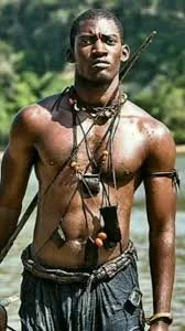
mandinka warrior
Before Europeans arrived (pre-15th Century), the territory of today’s Guinea-Bissau was part of powerful West African trade networks dominated by the Kaabu Empire, a kingdom founded by Mandinka warriors. The Portuguese arrived around 1446 and set up trading posts along the rivers and coasts of Guinea, When the Kaabu empire proved too strong for direct colonisation, strong trading relationships were developed with gold, enslaved people, ivory, gold, wax and rice being exchanged for firearms, horses, metal goods, textiles and alcohol. With increased material capacity but blissfully unaware of long-term well-being and stability, the country flourished.
Inevitably the bubble burst. The decline of Kaabu (18th-19th Centuries), due in part to uprising from exploited subjects and an increased Islamic presence launching jihads (holy wars) across the region, allowed the Portuguese, who had long lingered on the coast, to expand inland. During this period known as “Scramble for Africa”, the power vacuum left by Kaabu’s fall was filled by Europeans.
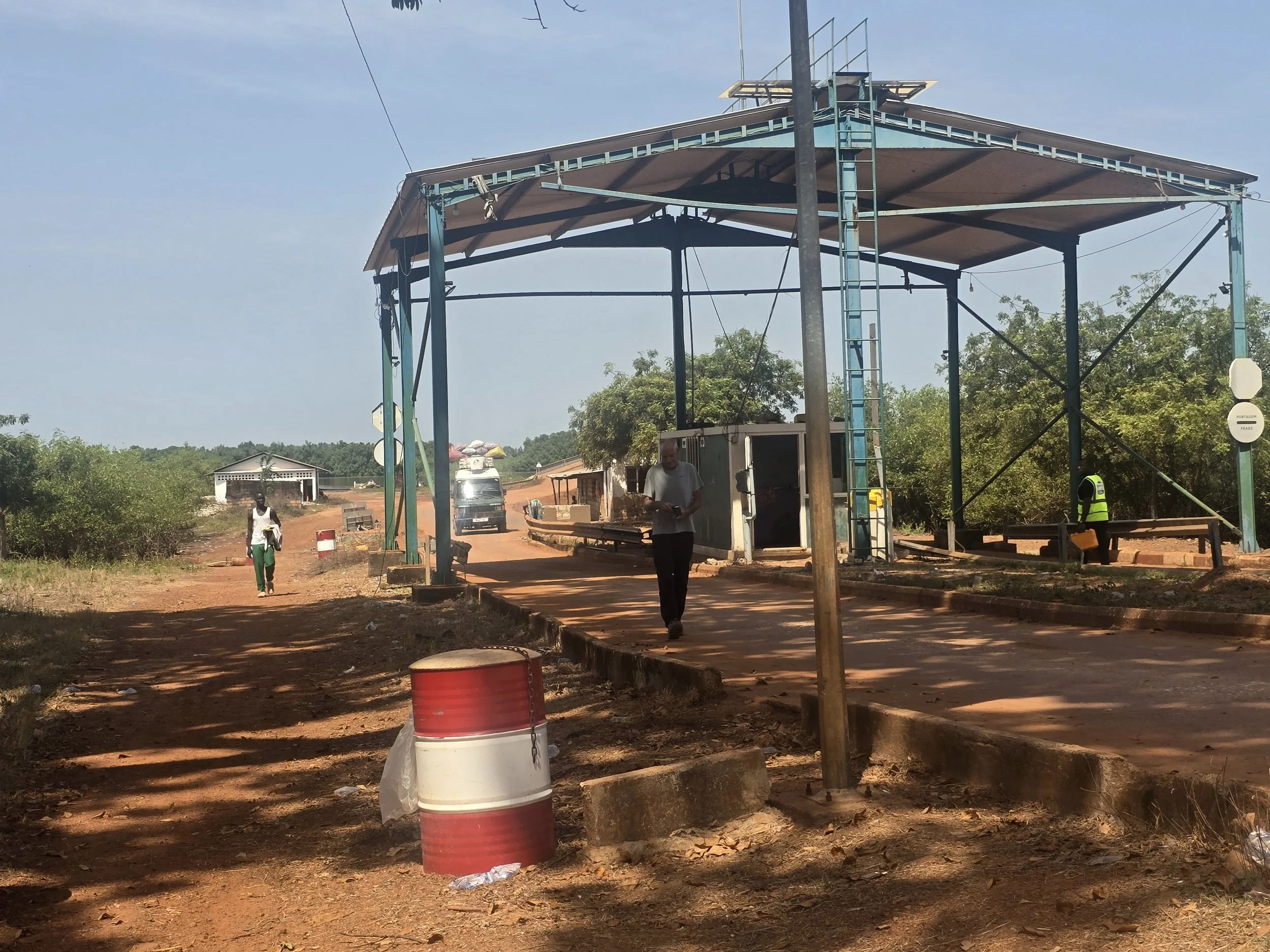
bissau toll booth
Today, Guinea-Bissau and its population of 2 million faces a difficult balancing act. On the one hand there is potential – natural wealth, a young population and an economy that can grow. On the other, repeated political instability, following a bloody war against Portugal before independence in 1973, institutional weakness, over-dependence on one export crop (cashews) and social challenges which make progress fragile. The country has long been labelled (by international media) as a “narco state”, a major transit hub for international cocaine trafficking from South America to Europe, the beneficiaries from this illicit trade found among senior officials within the military, security forces, customs, law enforcement, judiciary and political classes.
main road out of bissau
It took 4 hours to drive 120km to the capital of Bissau: What roads existed were pitiful. The pot-holes were large enough to swallow a car whole if one managed to hit them at the right angle and as most of the traffic coming towards us was generally on our side of the road (also trying to avoid the cavernous pits) an on-going game of chicken was at play. There were goats, pigs, cows and school children to avoid and the never-ending conundrum of who do you pull over for. Is it the man in a high vis vest waving a bright green flag, or the girl sat in the middle of the road next to a man painting a small booth or the policeman with nothing better to do but with no means with which to take chase. Continual choices, although the girl was actually manning a toll booth and we did reverse to make a payment.
beautiful bijagos
Our arrival into Bissau coincided with a contentious presidential election. The incumbent president was seeking a second term amid fierce backlash from the opposition, a relatively unknown candidate backed by the African Party for the Independence of Guinea and Cape Verde. Naively ignorant to the agitation that we now know surrounds West African elections, our impression of the capital was of a laid-back and friendly city, notwithstanding the large presence of gun carrying soldiers and members of the national armed forces.
bijagos island transfer
Bissau was just a transit point for us on our way to the Bijagos Islands, an archipelago of 88 islands, 22 of which are inhabited, located just 100km off the coast. They are difficult to get to and expensive to visit as there are no direct flights from major international airports. A Cessna plane (20 minutes) with five passenger seats supposedly runs daily between Bissau and Bubaque, but the schedule is at the mercy of the weather and the online booking system wasn’t working. The weekly ferry (4-5 hours) was showing on the website to be out of service and information on the local wooden pirogues (6 hours) stuffed to the gills with people, provisions, motorbikes and furniture was scant. The preferred way to travel was on one of the speedboats (1-2 hours) owned by a couple of island hotels but unless you are lucky enough to find one already organised the cost of a one-way trip is €300.
orango park
Our attempts to communicate with the speed-boat owning hotels mostly went unanswered, the exception being the Orango Park Hotel, a Spanish non-profit entity, aimed at conserving biodiversity throughout the islands and preserving Orango’s rich cultural heritage.
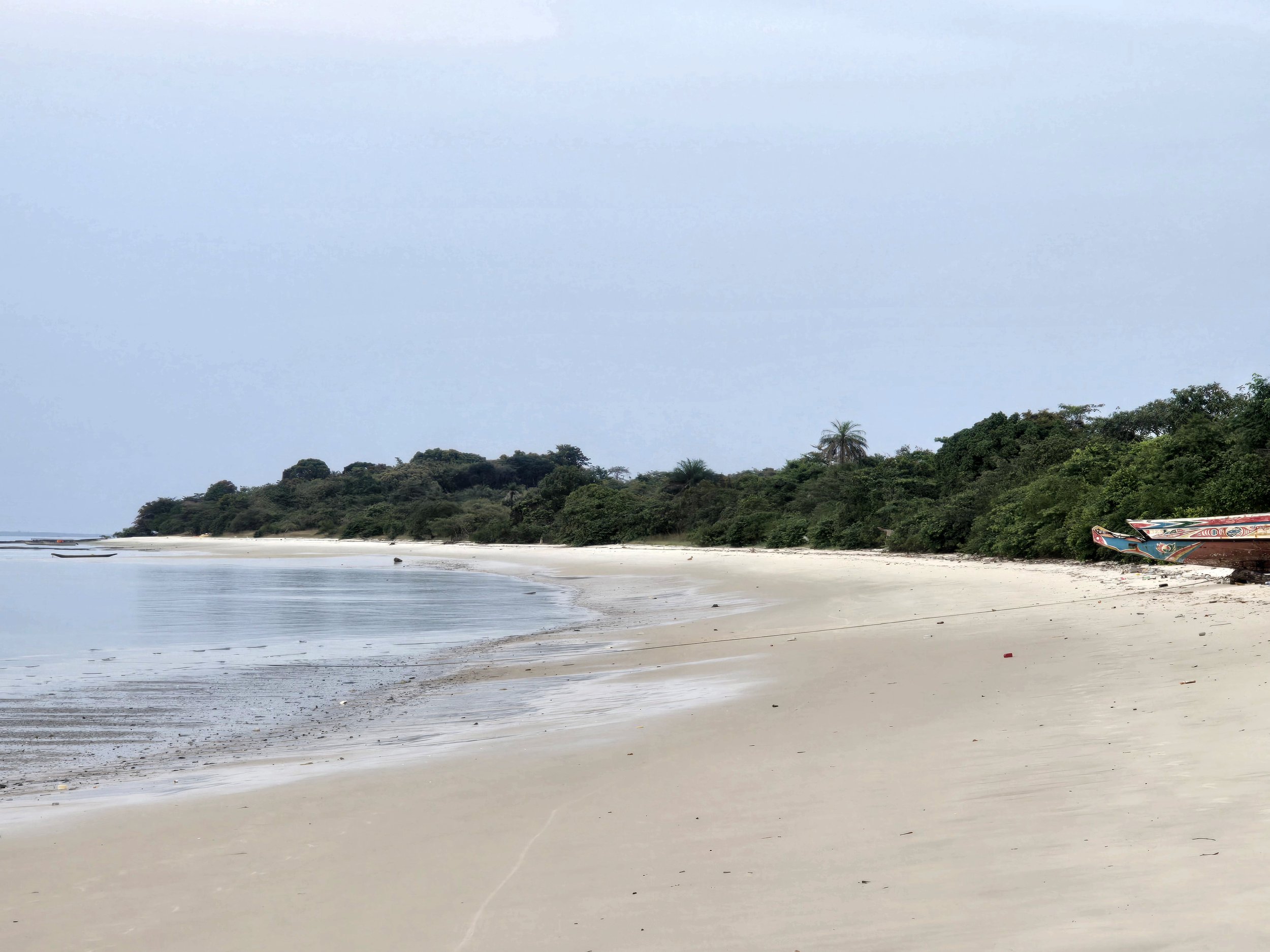
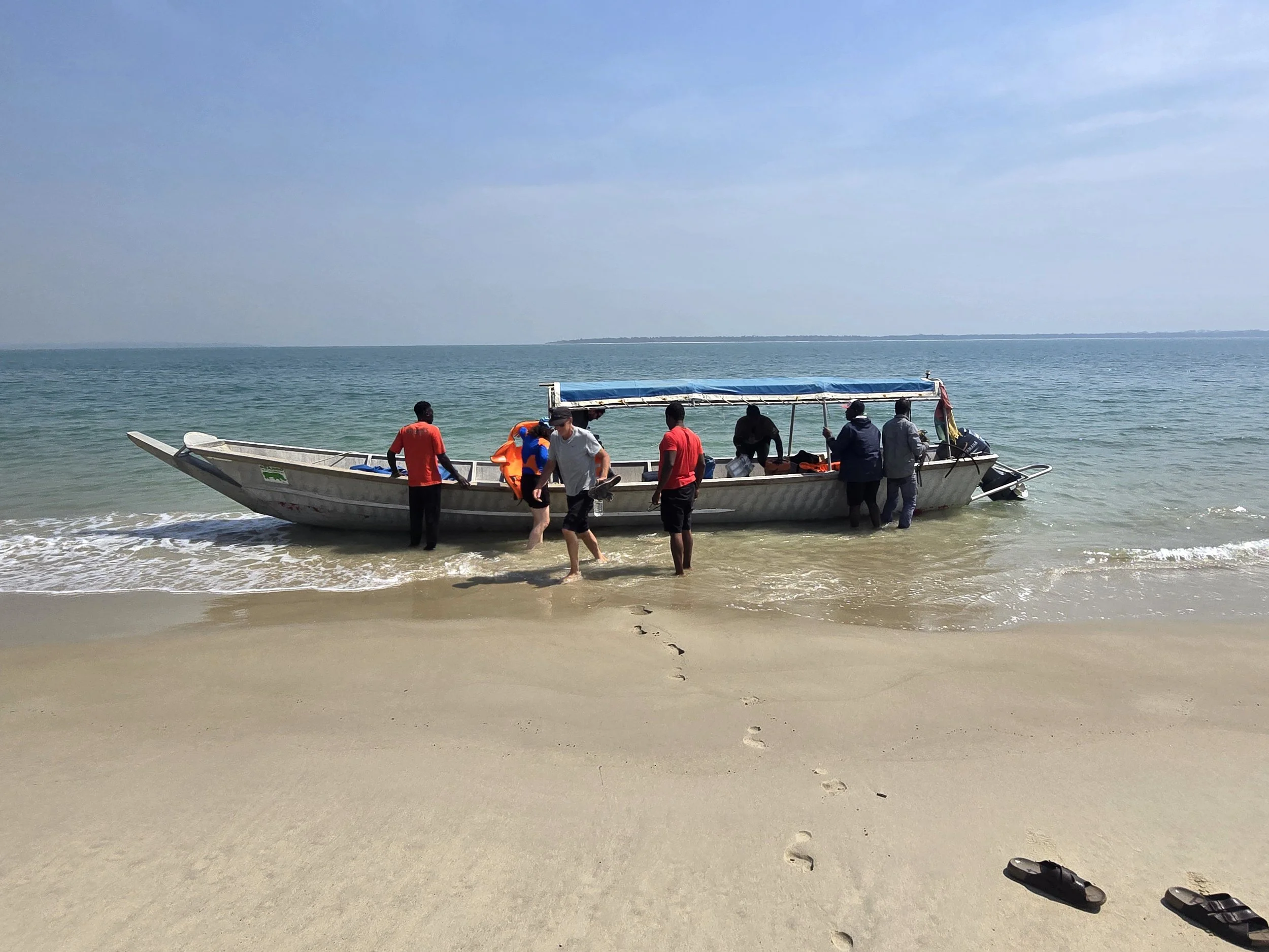
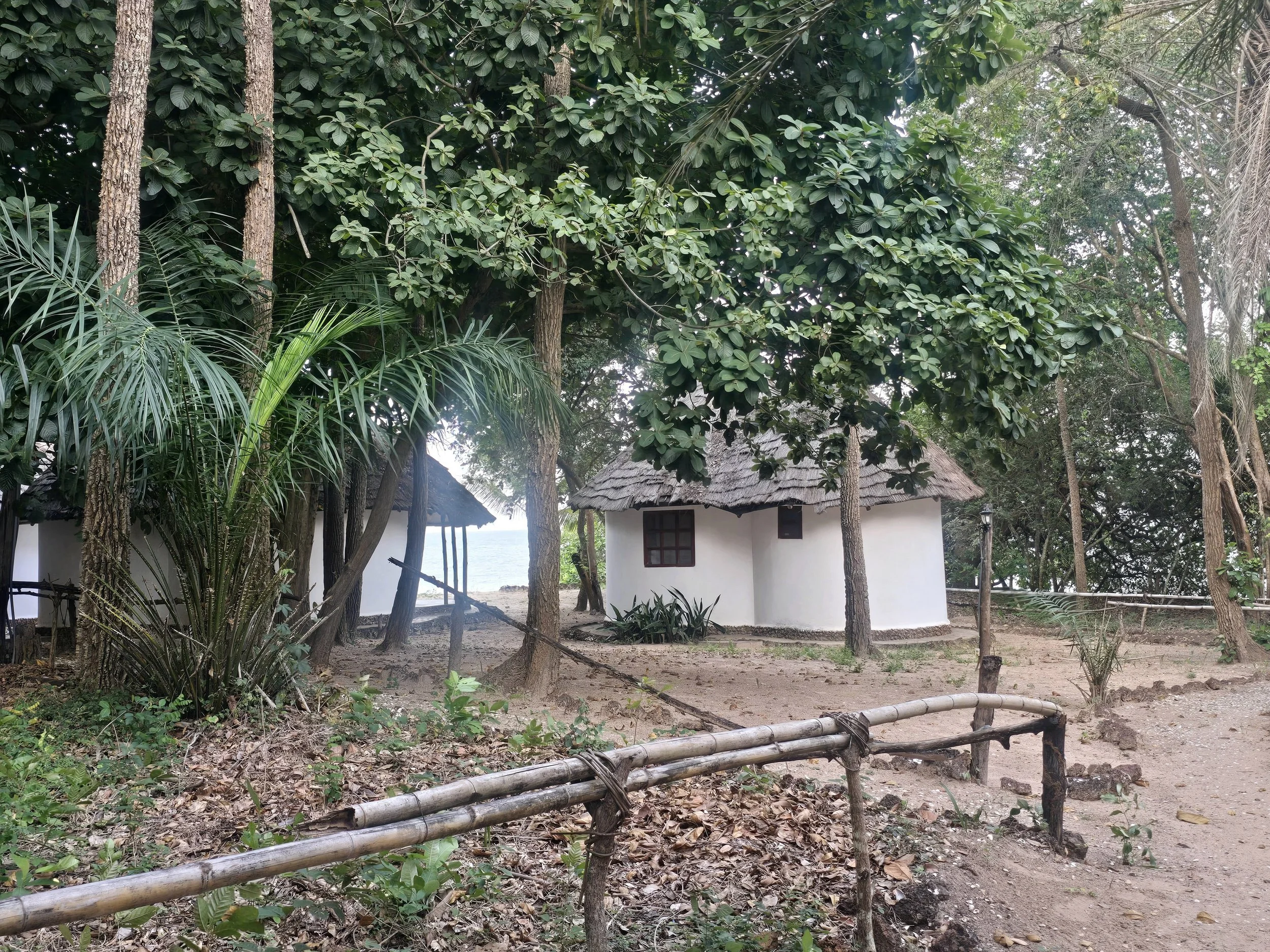
Splitting the cost of the trip with a lone Swiss traveller, we were collected from our hotel in Bissau and driven to Quinhamel (40 mins) where we boarded the Orango boat. Not a speed boat after all, a 6m long steel craft with a small outboard engine. The trip out to the island was smooth sailing and 4 hours after departing Bissau we were deposited on an extensive beach of fine white sand surrounding an immense tropical forest. Circular bungalows provided accommodation for up to 28 people which seemed optimistic as aside from us, the only other people staying were two Portuguese women, a French woman and our Swiss companion.
queen okinka pampa mausoleum
The itinerary for our 3-day stay included visiting the local village of Eticoga, a matriarchal society residing in a hotchpotch of simple huts around the mausoleum where Queen Okinka Pampa, the last Queen of Bijagosm, and her family are buried under a slab of concrete. She was 100 years old when she died in 1930 and is still venerated, not just for her ability to walk on water, but for her negotiations with the Portuguese settlers who ended up signing a peace treaty that freed the archipelago from colonisation.
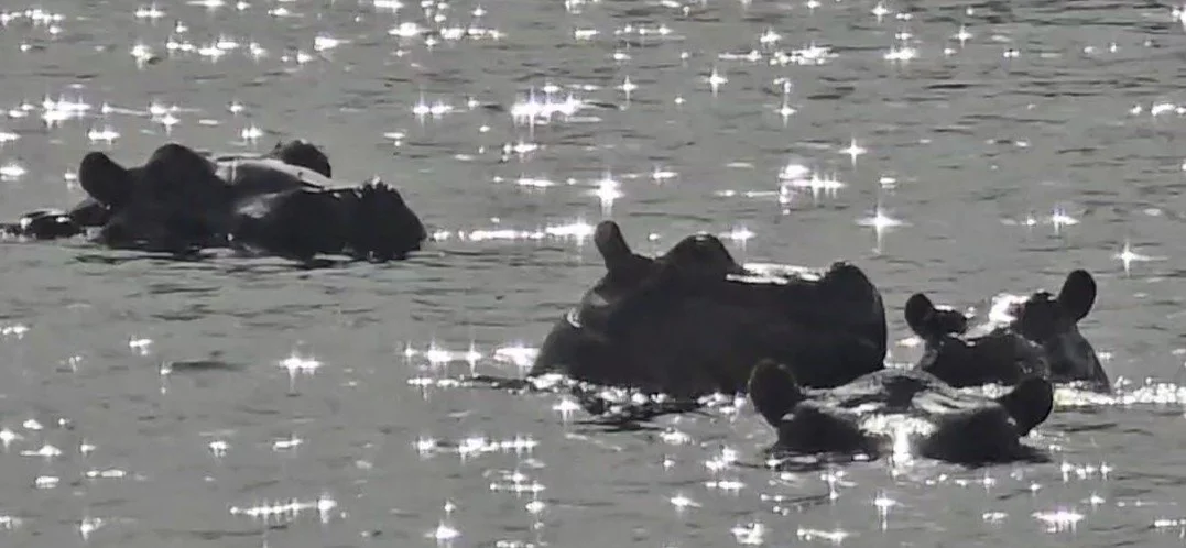
Interesting as this was, our main reason for choosing to stay on Orango, one of the outermost islands, was two-fold. The first was the presence of an isolated pod of saltwater hippos, a subspecies that has unusually adapted to life in saline and coastal environments. A short boat ride from the hotel was followed by a 30-minute walk through tall grasses and a leech-infested swamp to Anor Lake, one of a handful of sites known to attract the hippos. Sure enough, there was a large group no more than 20 metres away from us cooling off in the water. We were lucky, as with the lake waters drying up as the dry season progresses, the hippos would soon be making their way out to sea and swimming further round the island making them much more difficult to reach. We have seen hippos in their natural environment before and whilst it is true that all we can really observe are ears and the top portion of heads poking out of the water, I doubt that we will ever find ourselves standing next to a large group without some sort of safety barrier in-between. Well, fingers crossed!!
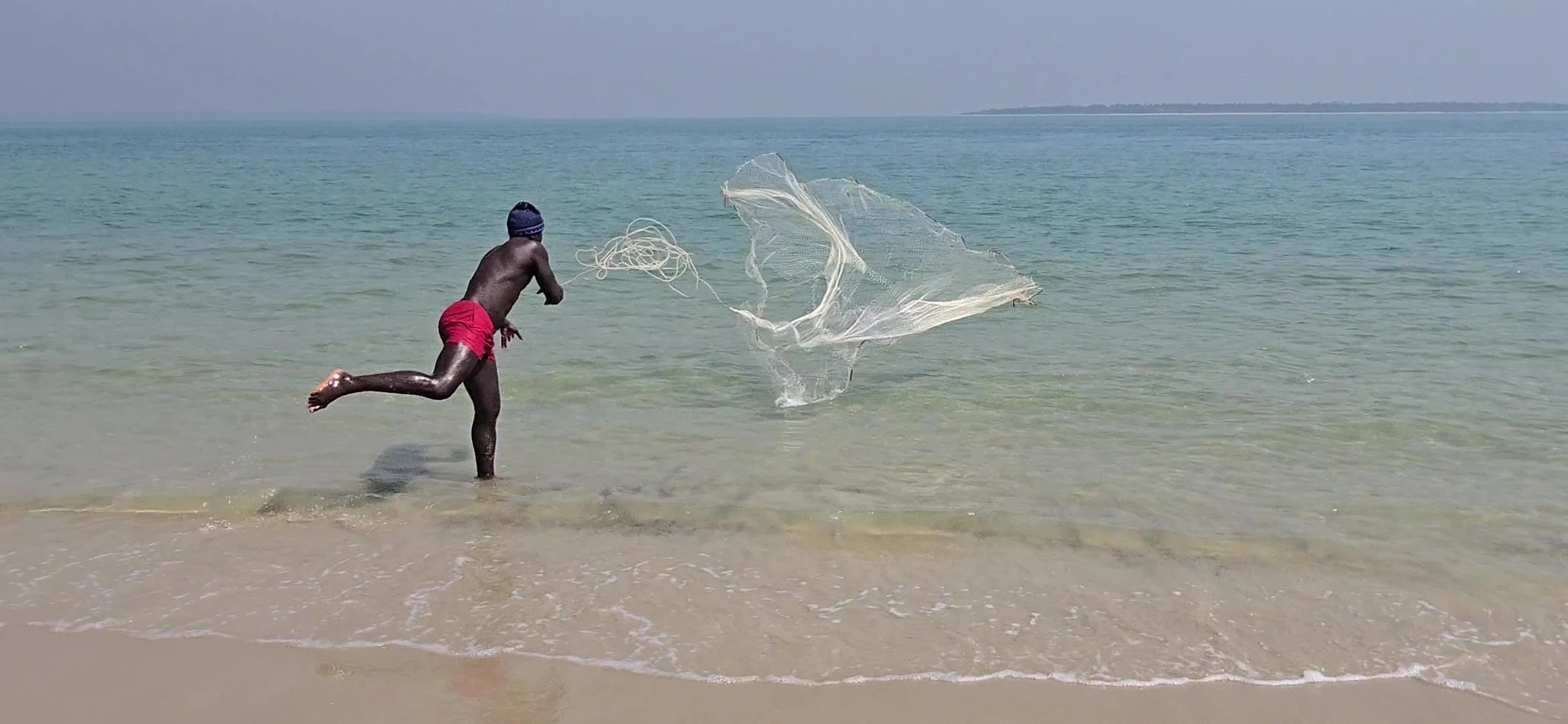
bijagos fishing
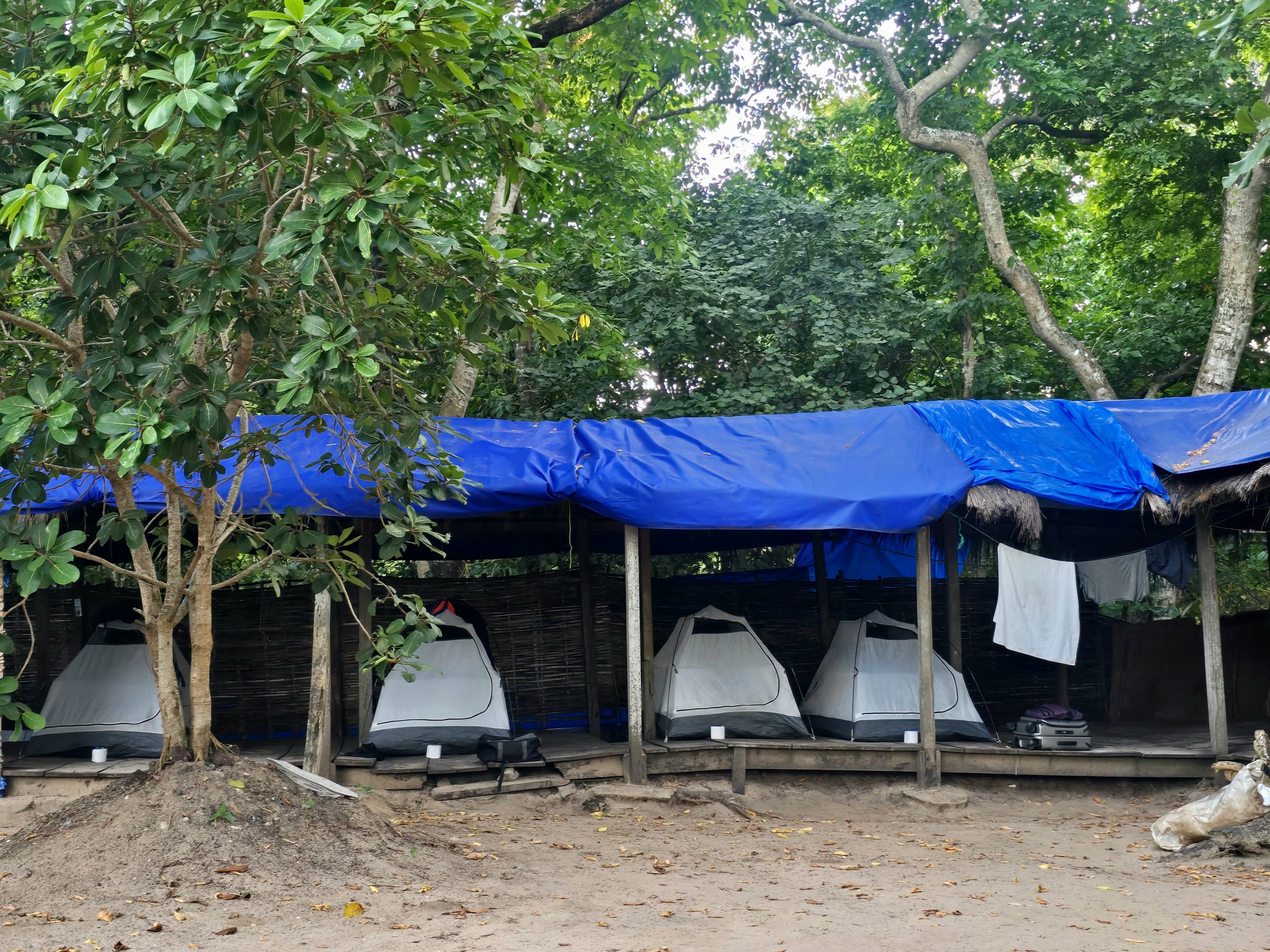
pailao marine park camp
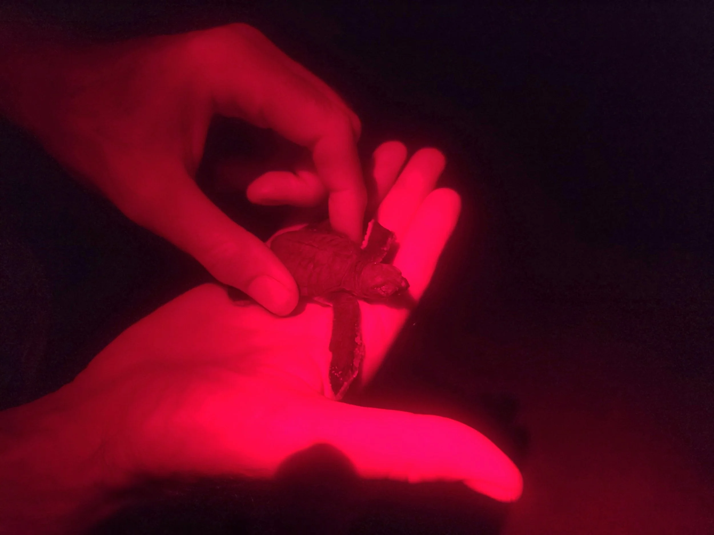
The other fascinating natural spectacle are the thousands of green sea turtles that swim hundreds of kilometres to nest on the remote southernmost island of Poilao. Last year, turtles laid more than 44,000 nests on its 2km beach, the eggs hatching between August and December. The boat trip took over 7 hours, although we did land at one particularly Robinson Crusoe-esque island for a picnic lunch. The boat crew were quick to get fishing nets and lines out and in a very short time had caught several large barracuda and, rather unfortunately, a protected ray. The boat was getting quite full - four tourists, a guide, translator, cook, boat driver and mate - but we eventually arrived on yet another stunning empty beach where we were expecting to meet workers from the Joao Vieira and Poilao Marine National Park. Walking into the tiny makeshift camp we were surprised to find it empty of occupants, particularly odd taking into account the sacred nature ascribed to the island and the strictly controlled numbers of tourists (no more than a dozen at a time) allowed to be there. Turns out everyone had gone over to the main island to cast their election vote and we had been left to our own devices for the night. We sat and watched as tents were set up and after an excellent Barracuda supper we managed to grab a couple of hours sleep before our midnight patrol along the shore.
heading back to the ocean
wonder where he is now?
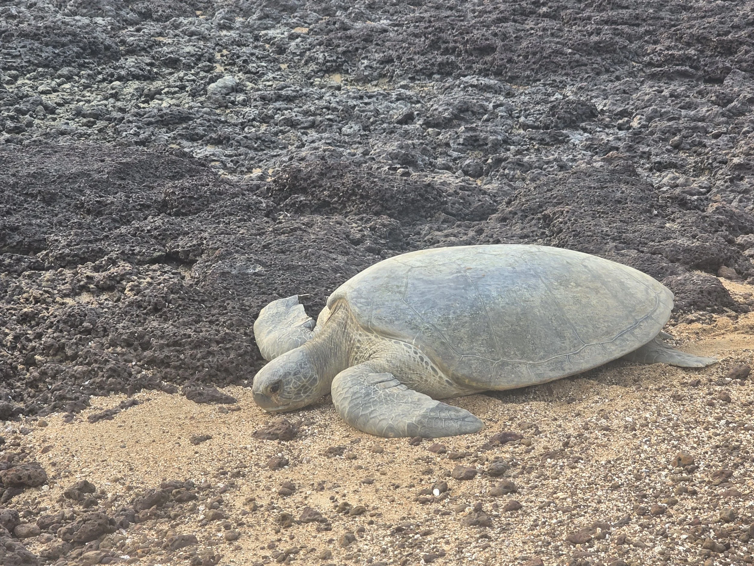
Turtle conservation programs have become a staple of resorts in many popular destinations, and we seemed to have picked by far the most difficult one to visit. But, I can’t imagine being given free-rein anywhere else to witness huge (up to 250kg) female turtles digging nests and laying their eggs before making the cumbersome journey back to the ocean. Our only instruction had been not to use the flashlights on our cameras, the red light on head torches was given the thumbs up. No more than 50m away from the camp we nearly walked over the top of a couple of nests where hundreds of babies had just emerged. There wasn’t much moonlight to guide the babies into the water and we watched them running around aimlessly, falling into holes they couldn’t get out and getting stuck behind rocks. Totally ignoring the no light mandate, we all rushed to the water’s edge with mobile torches on lighting a path towards the safety of the ocean. Probably not acceptable protocol but surprisingly effective; the babies took full advantage of our intervention and raced into the surf. Fingers crossed they make it through the next 20 years to maturity.
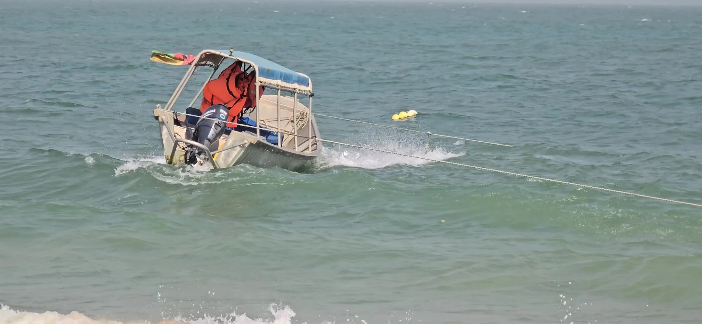
Leaving Poilao we had arranged to get dropped off on Bubaque, the main island, rather than returning to Orango with the others. Our planned early start was delayed due to strong winds but when conditions hadn’t improved much by mid-day the decision was made to leave anyway. It was a bit disconcerting to observe our little boat being thrown around by rolling waves and straining at the two ropes anchoring it just off the shoreline and boarding was no easy matter in the waist deep surf. Eventually, we were all in, room somehow having been found for a dozen or so plastic-coloured chairs, tents and cooking equipment. The little boat struggled to make progress through the choppy waters, each wave met with a resounding slap that reverberated up our spines with increasing intensity. Visibility was limited due to the large wash of water coming over the sides of the boat but at least the bilge pump was working and only one of the metal struts securing the canopy had detached. After 2 and a half hours, just when we were expecting Bubaque to appear, we motored over a long fishing net suspended by a series of surface floats. The look of surprise on the crew’s faces was clear indication that we were off course. This was confirmed when the question “Has anyone got a phone with GPS?” was heard from the back of the boat. Ian loaded MapsMe and handed it over and, after some consultation, a 90 degree turn to the left was made and we tentatively set off. We hadn’t gone more than 50m when the engine was switched off again and the next question came “Is anyone able to read the GPS map?” A quick look confirmed that our correct course was in fact 180 degrees to the right, we were about 15km further out to sea than we should have been.
waiting for the coup d’etat to settle down
We did eventually arrive at Bubaque, wet and exhausted, but relieved that we weren’t returning to Orango with the others which would have meant another 2-3 hours of washing machine action.
Guinea-Bissau has a long history of coups, at least nine over the last five decades, so it shouldn’t have come as too much of a shock to find, the following morning, that the incumbent President had been deposed and the military had taken control of the country, one day before the final election results were expected. Rumour has it that this was all smoke and mirrors. Expecting to lose the elections, the President had fabricated a coup d’etat and installed allies from the military so that he could lead by proxy. With all borders closed, all transport suspended and a curfew in place, a general was sworn in as the country’s new transitional leader for the next 12 months.
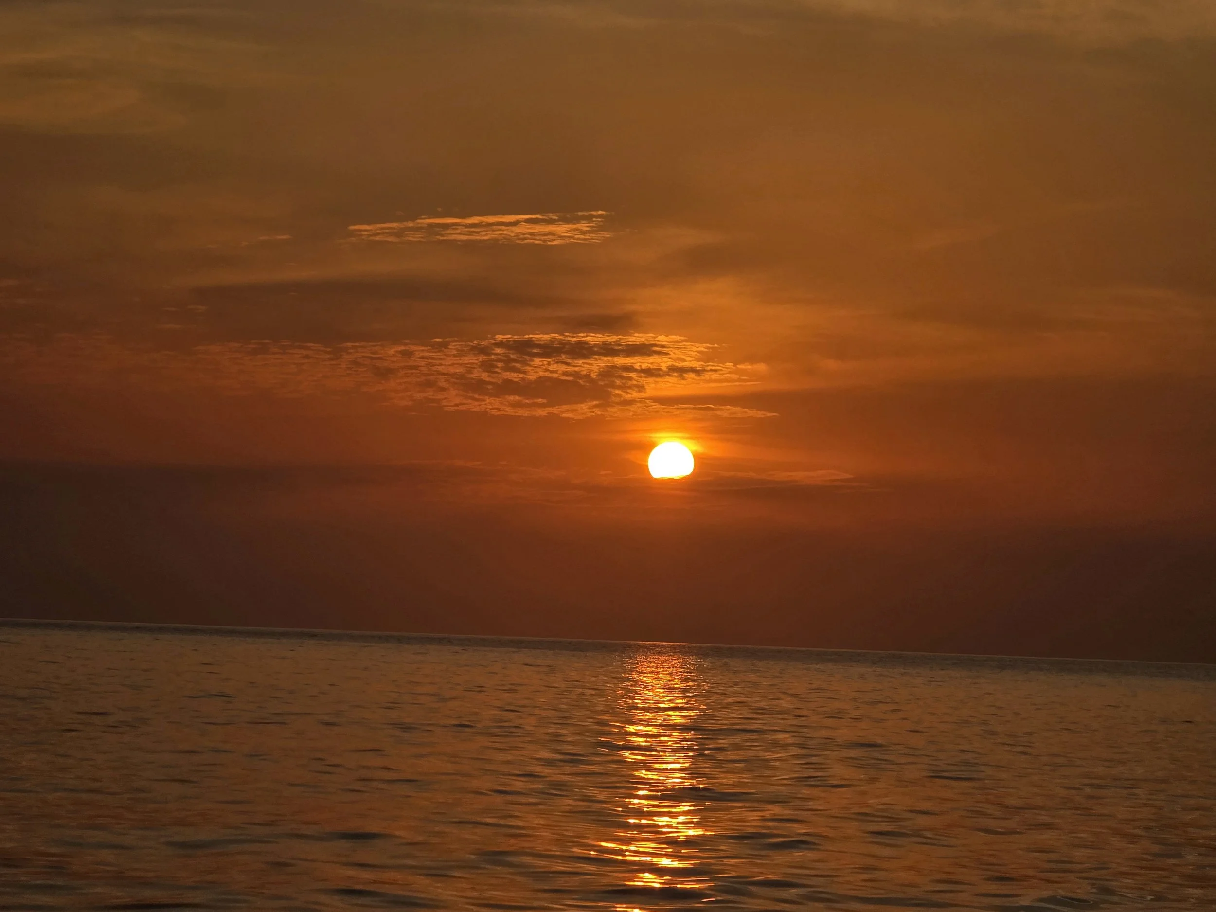
bijagos sunset
Safely out of harms way on the islands and grateful that we had found an underground garage attached to Bissau’s main hotel in which to leave Bob, we had no choice but to sit it out before the country got going again and we were able to get a boat back to the mainland.
Fully aware of the limited island transport options, we got lucky. A group of visiting anglers had organised a speedboat to get back to the mainland and with seconds to spare we managed to jump on before they sped off. Two hours later we were dropped off, in the dark, at a dilapidated and deserted wooden jetty. Our idea of getting a taxi back to the hotel was laughable and after navigating the shipyard full of containers we walked the streets of Bissau for 2km optimistically assuming that the curfew was no longer in place.
The city was unusually quiet and the hotel was completely deserted. Concerned that the opposition might call on people to stage protests against the coup, we didn’t hang around long and the following morning were making a speedy exit out of the city and towards our next country Guinea-Conakry.
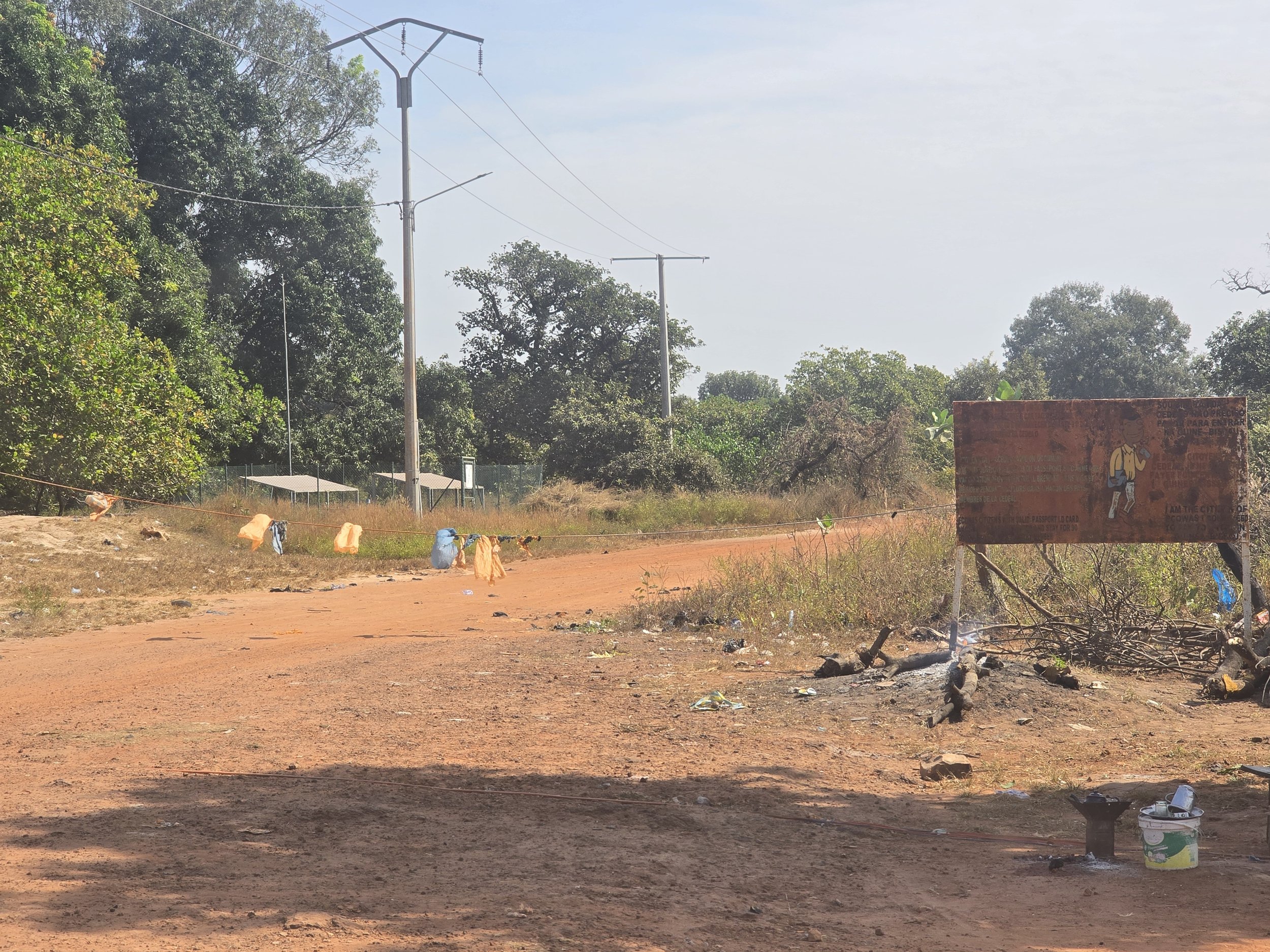
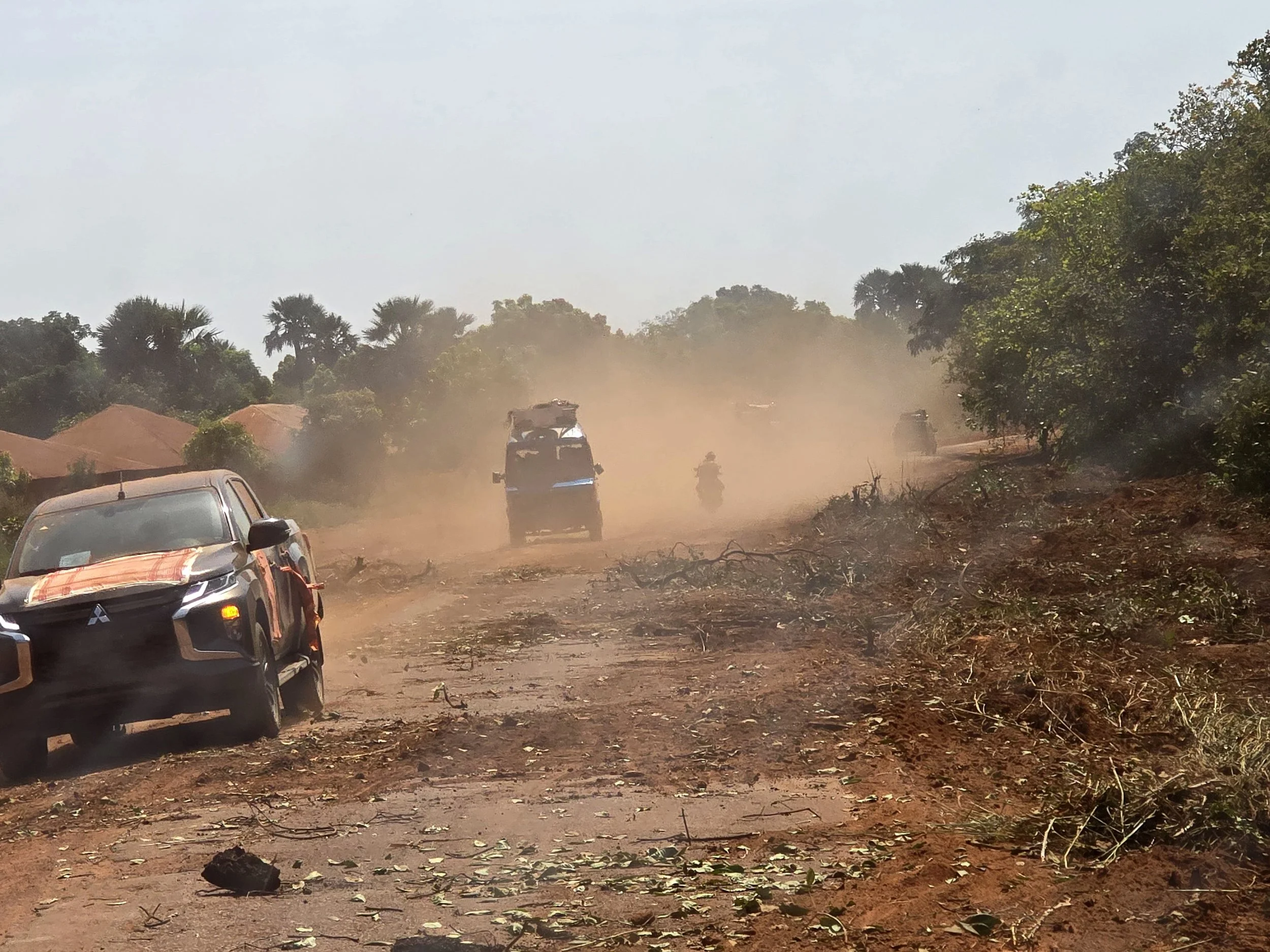
guinea bissau / guinea konakry border
The main border crossing between the two countries is in the north-east corner of Bissau and the roads got progressively worse the closer we got. An eight-hour drive, that the Sat-Nav had said would take three got us as far as Gabu, Bissau’s second largest city - a bustling, dusty place where, as is the norm country-wide, the electricity was only available between 7pm-7am but we had the best chicken dinner to date. We paid for a room in a run-down colonial hotel but after a quick look inside slept in Bob in the tiny courtyard out the back. The remaining 70km to the border took another three hours, the border recognisable by the now familiar tatty rope – this one embellished with plastic bags - strung across the road. We were the only people wanting to exit and passports and carnet were duly stamped and the rope lowered. A short but hellish drive through no man’s land deposited us at the Guinea-Conakry border.