Back to Angola
/
endless rainforest
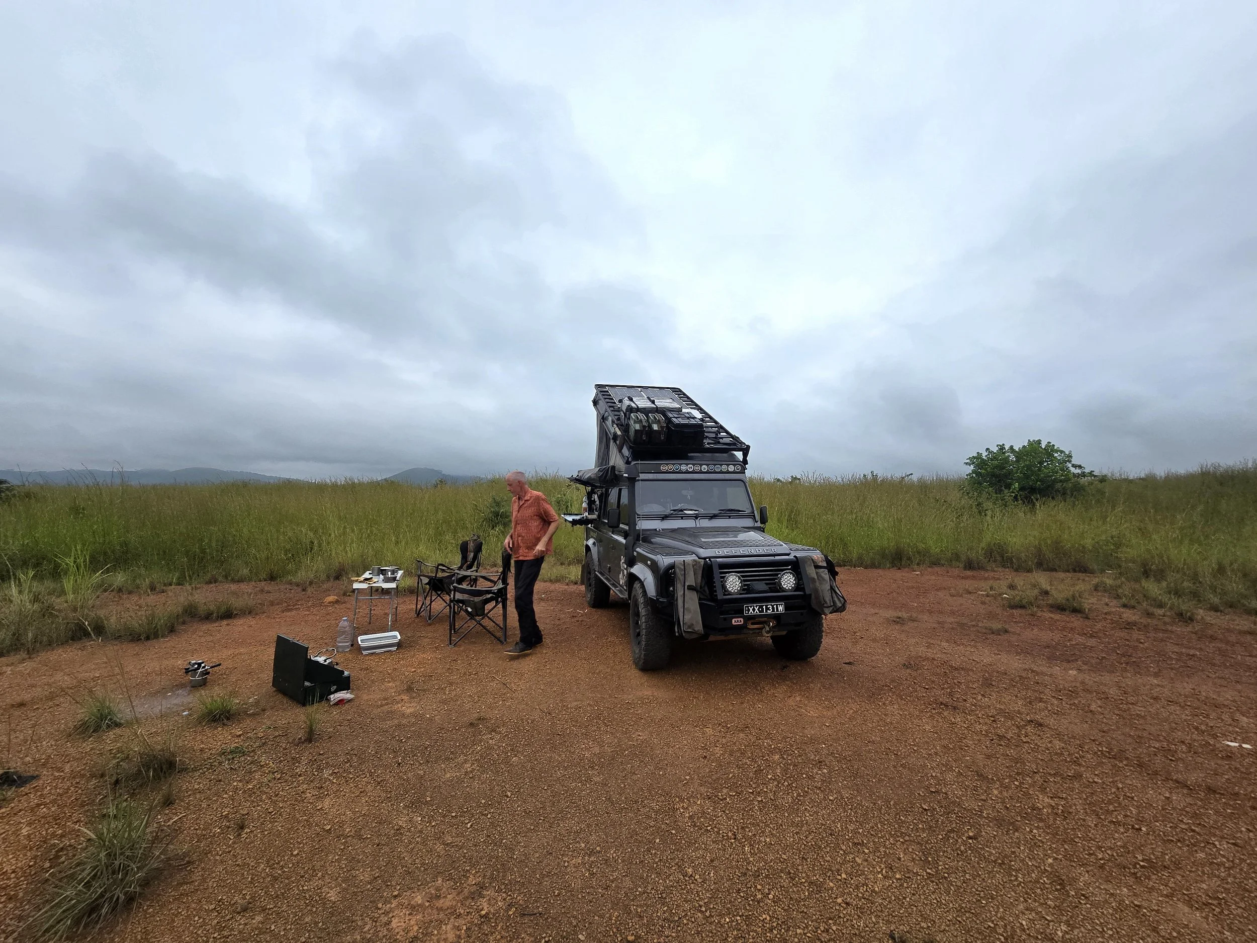
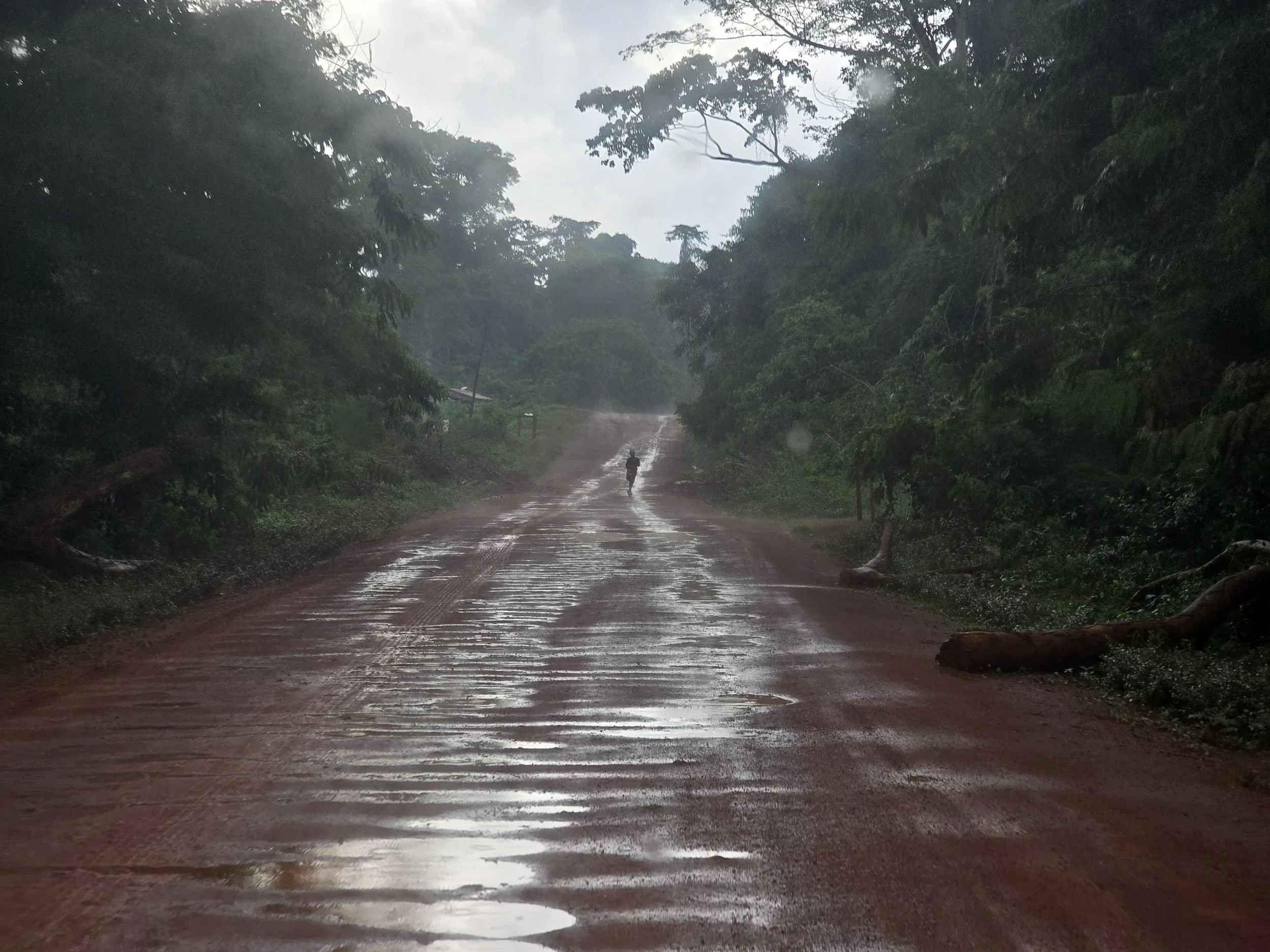
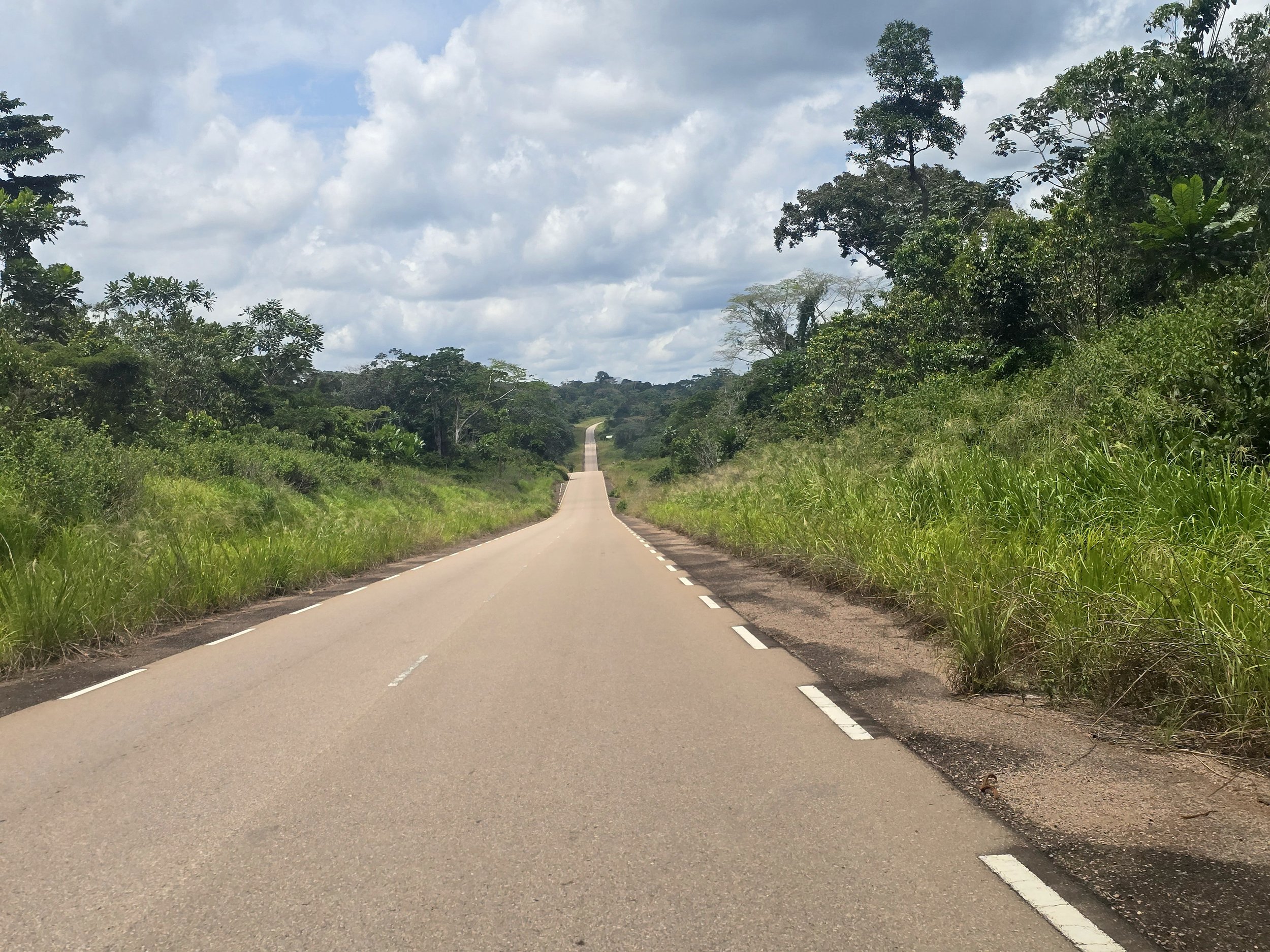
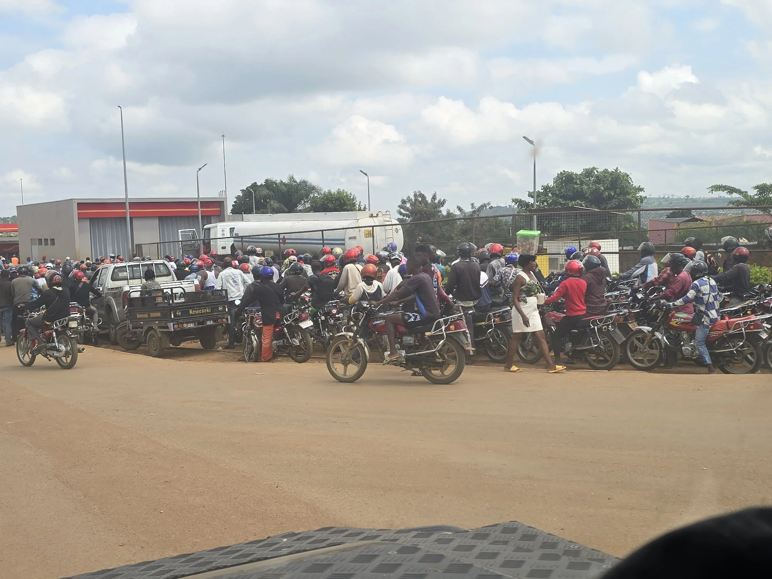
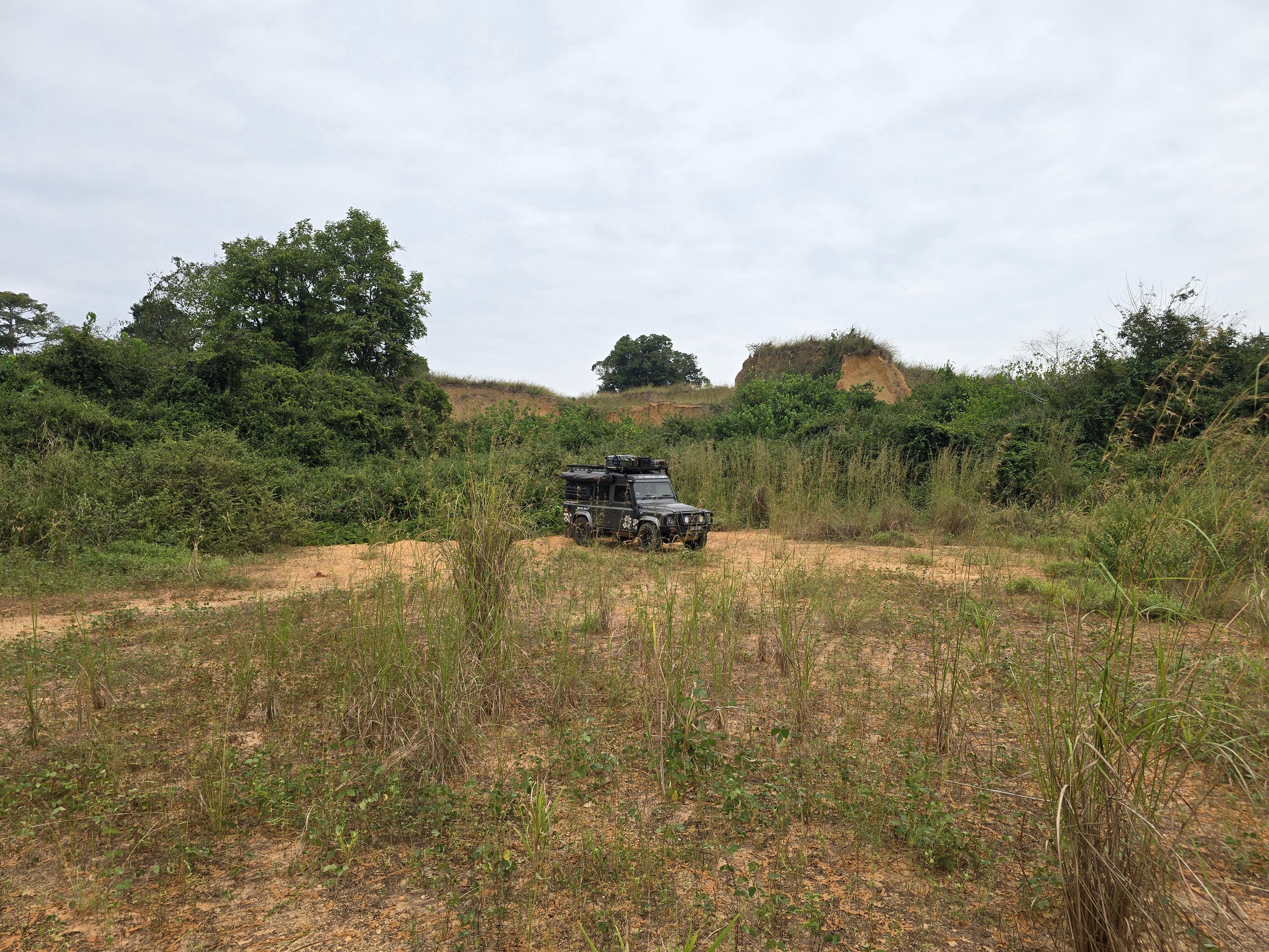
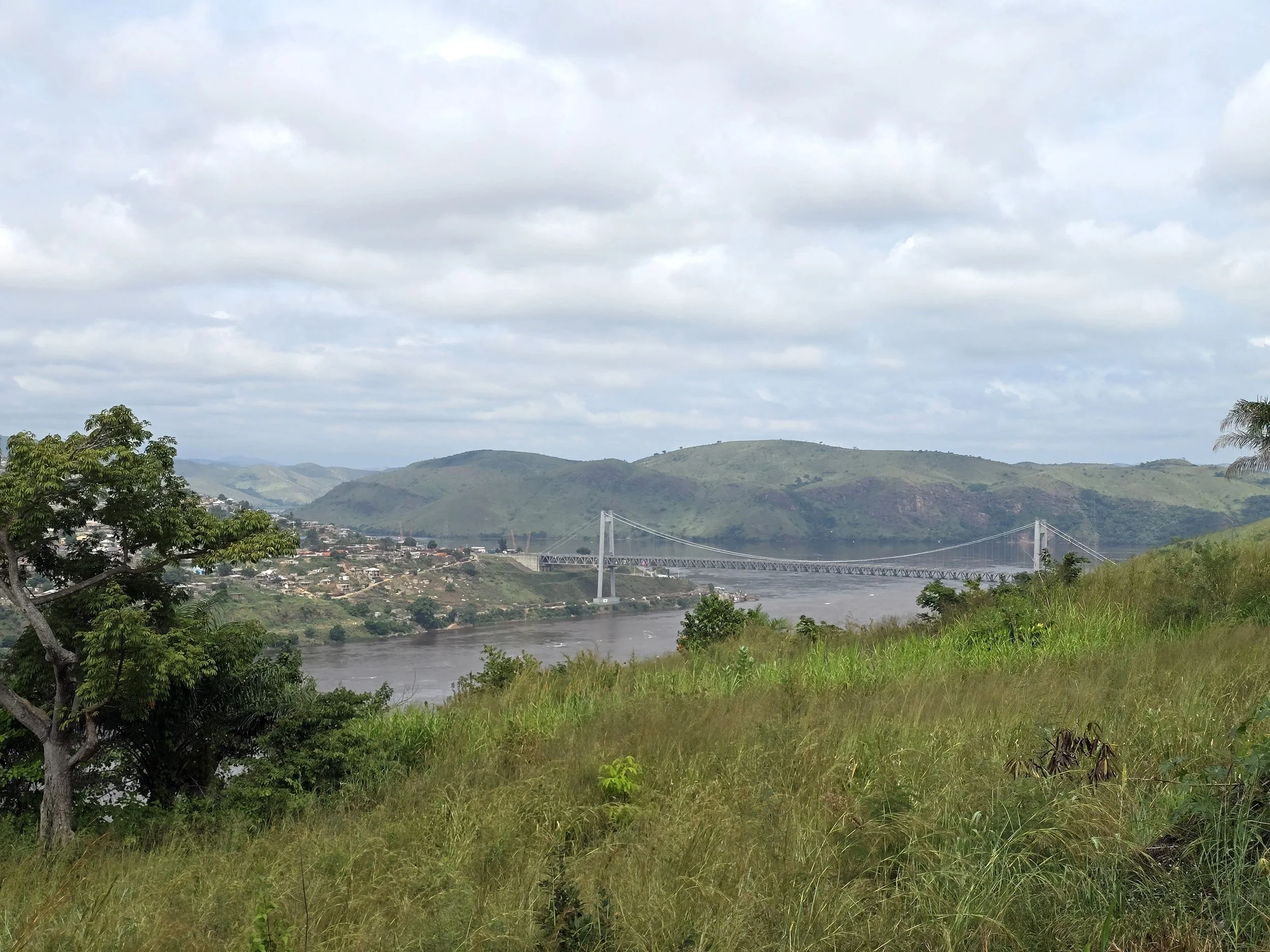
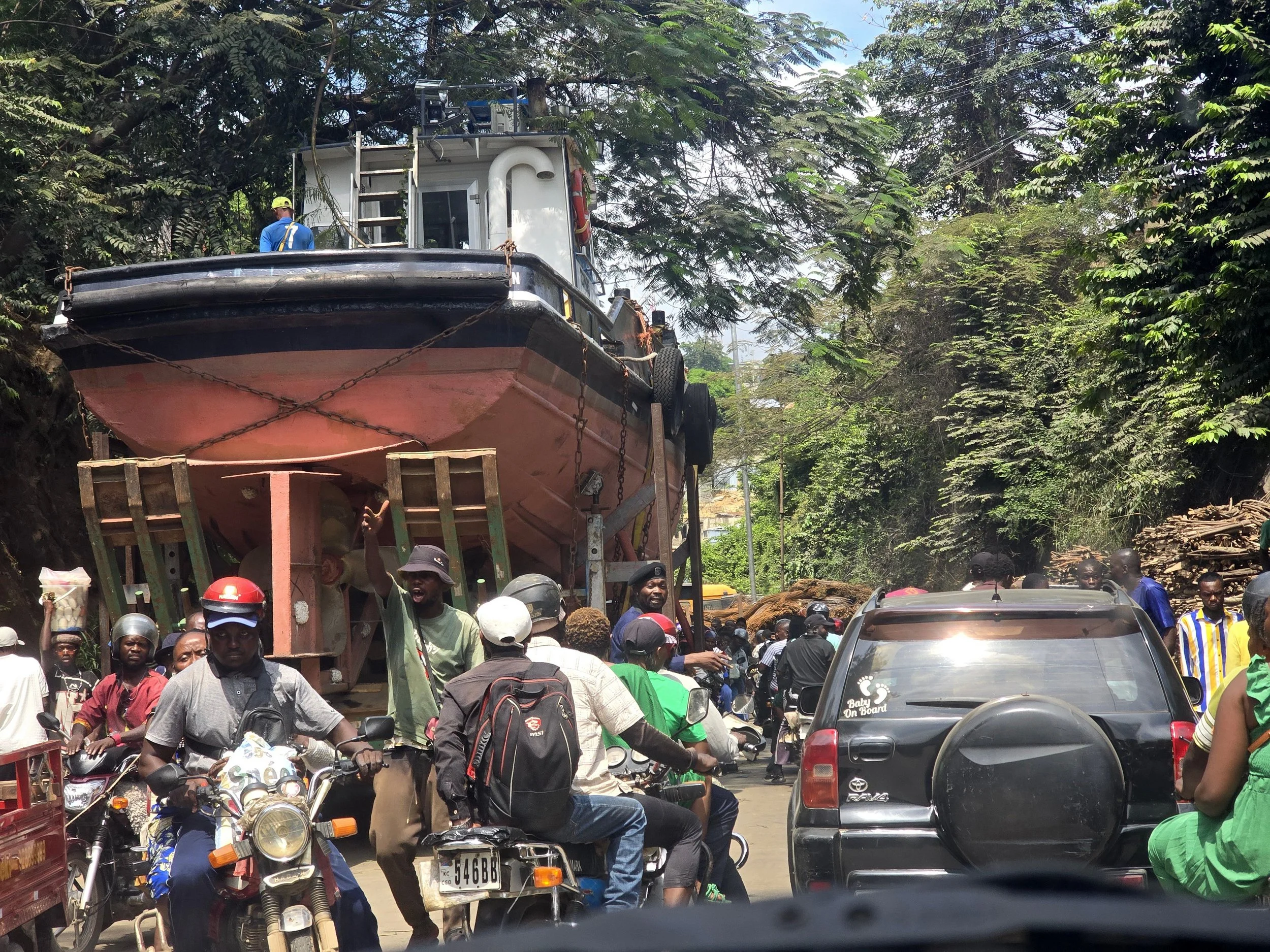
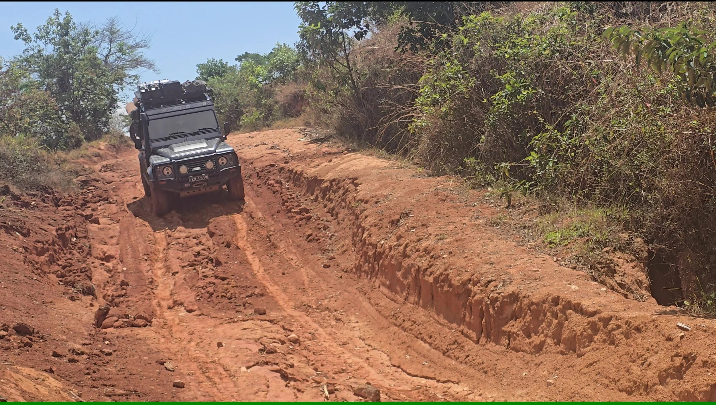
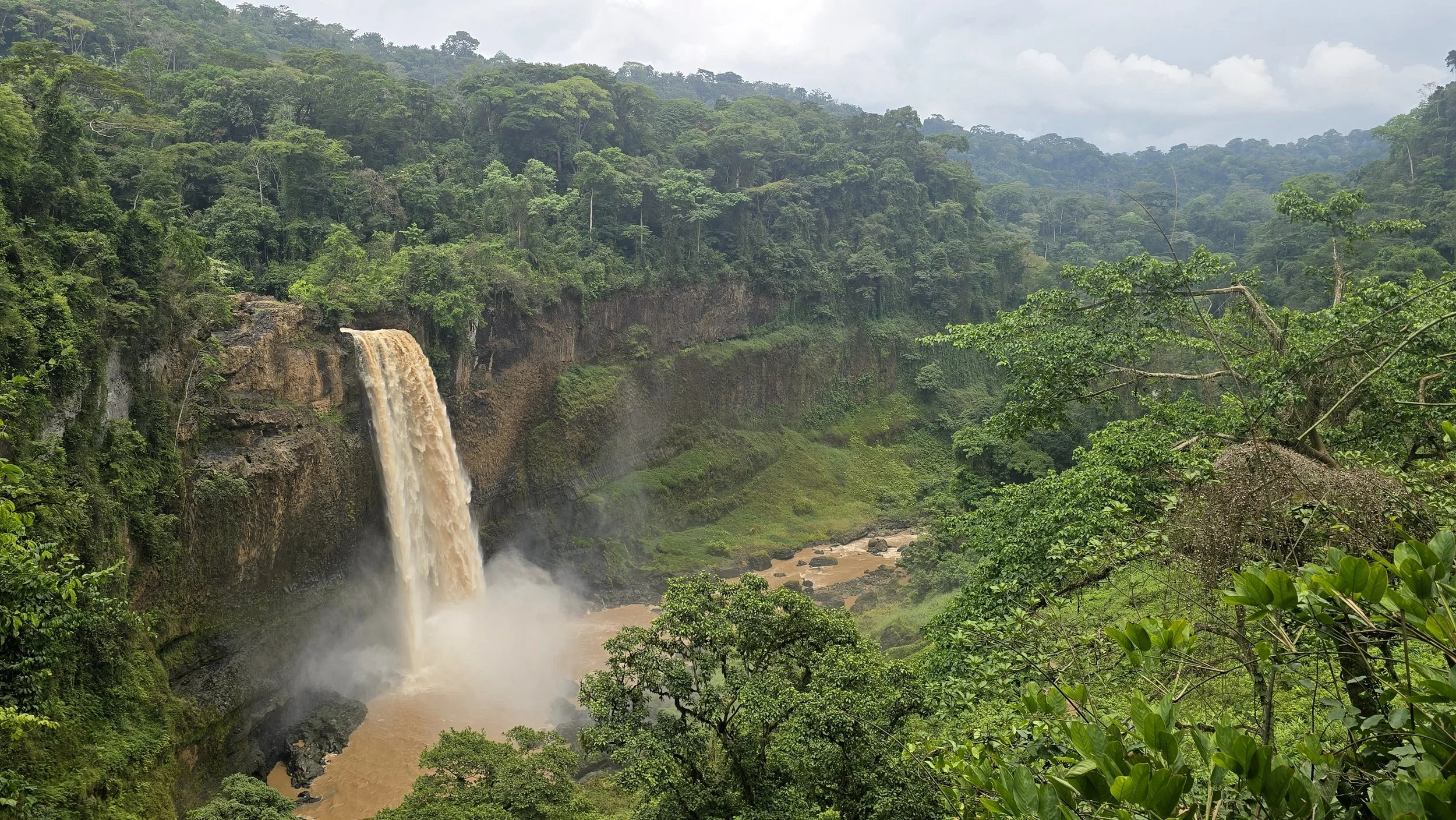
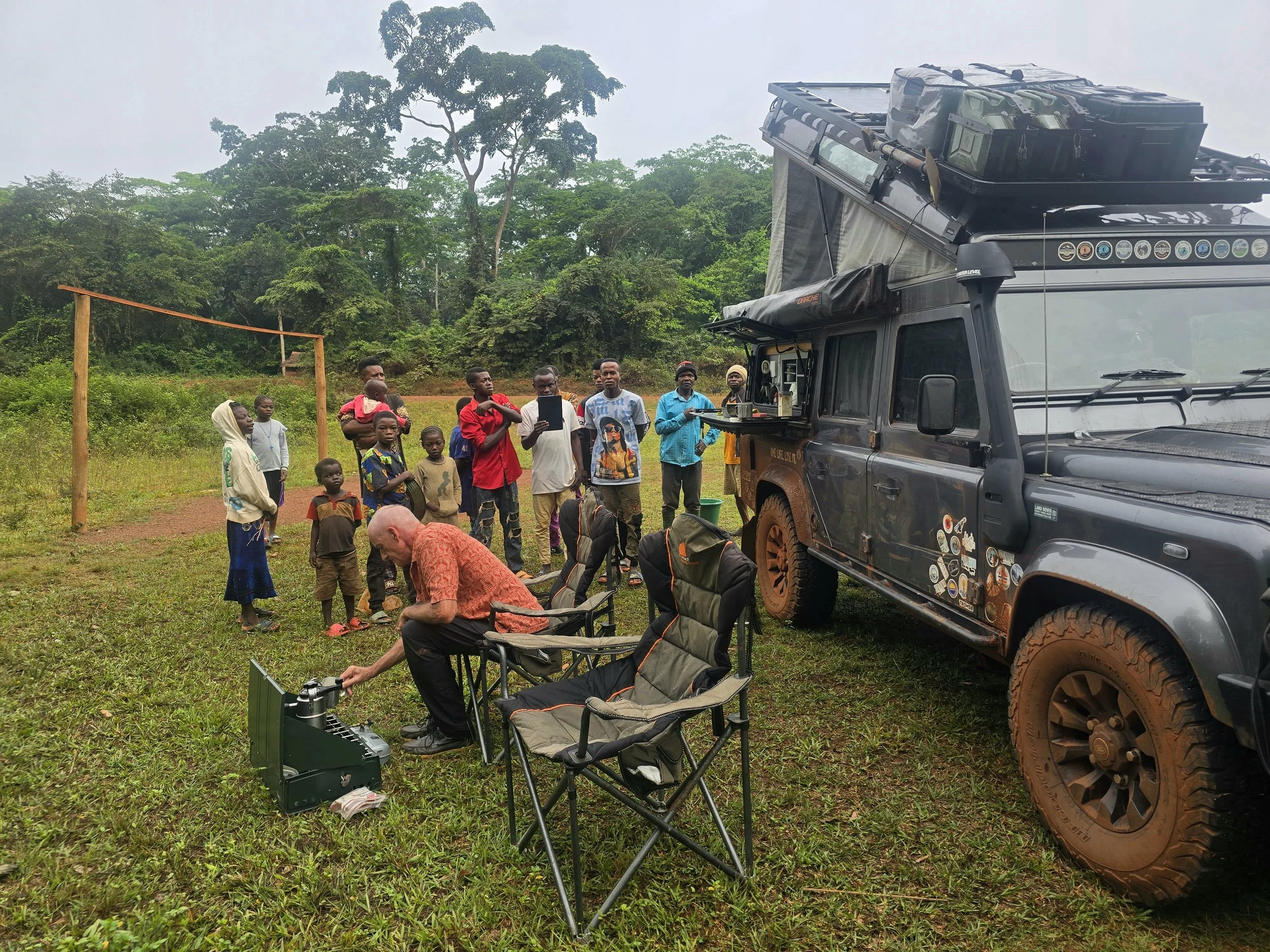
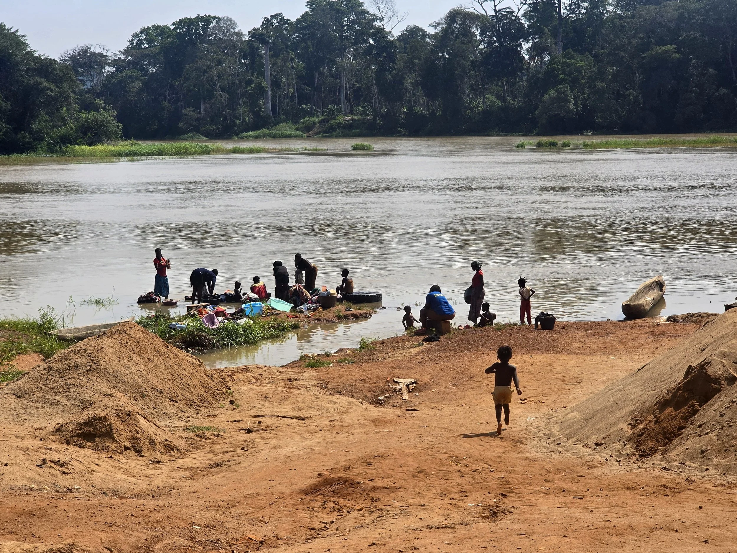
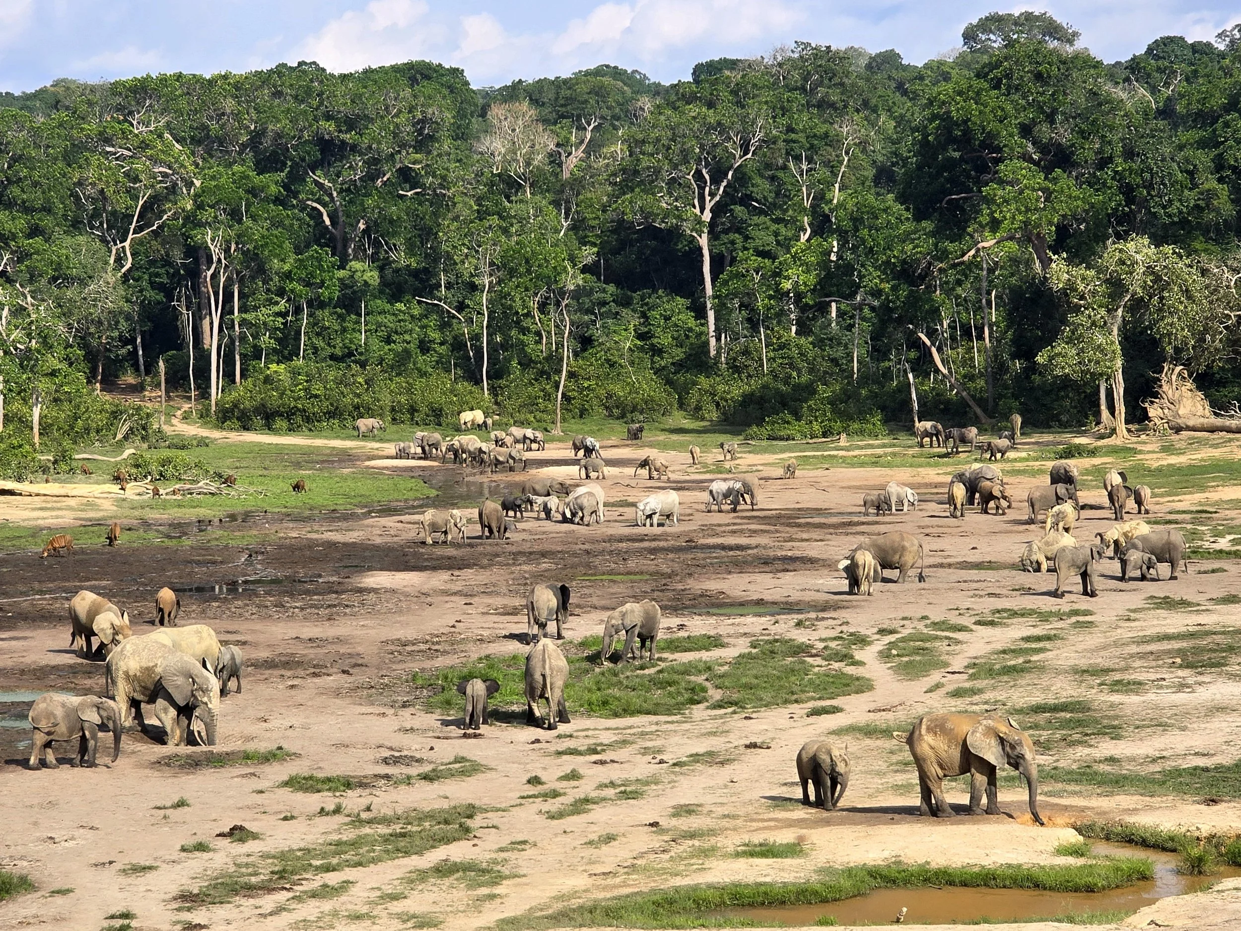
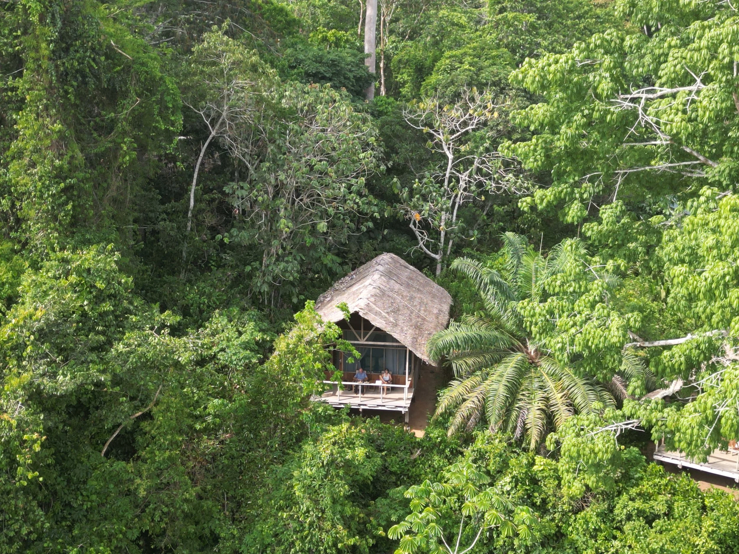
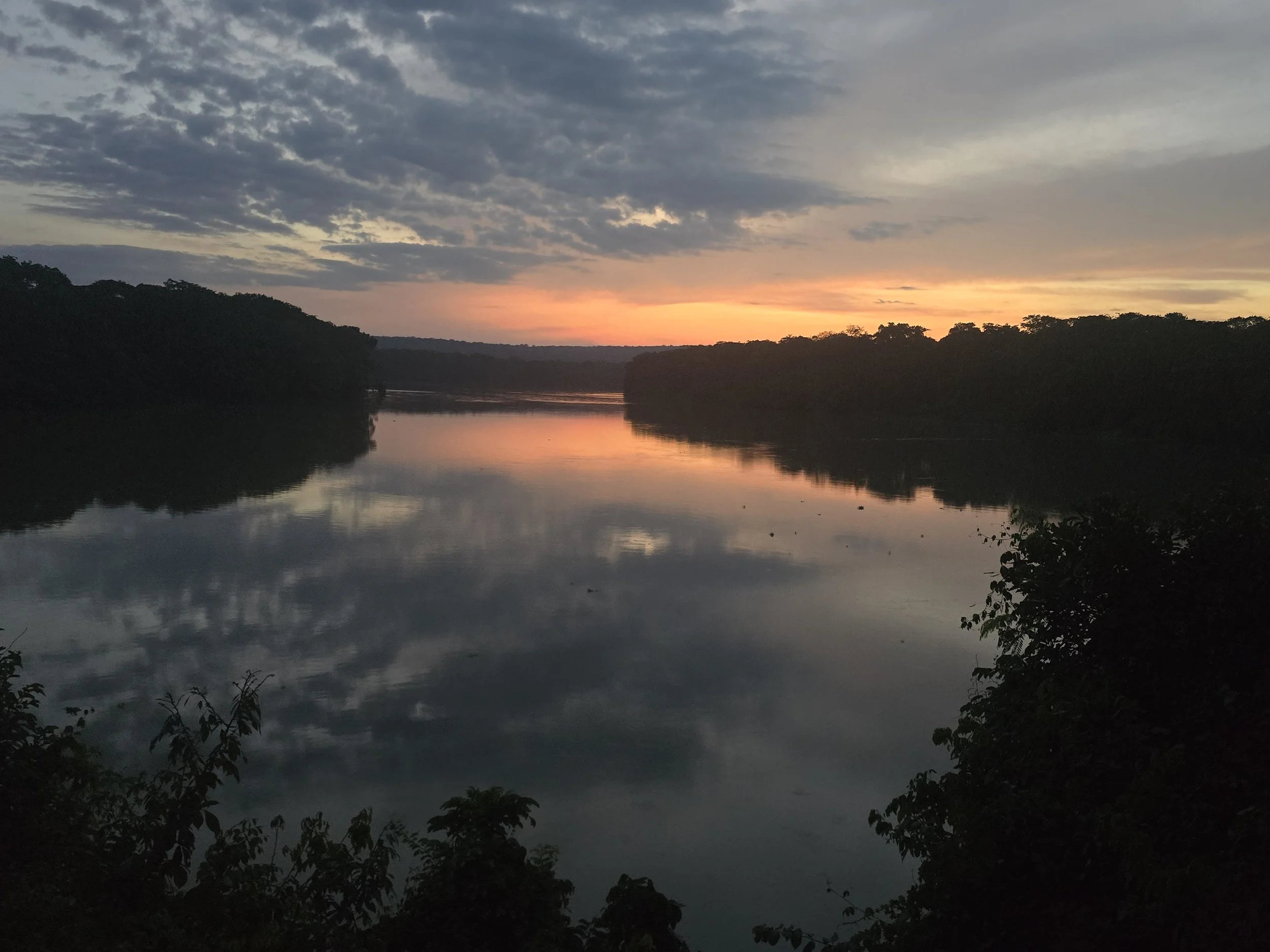
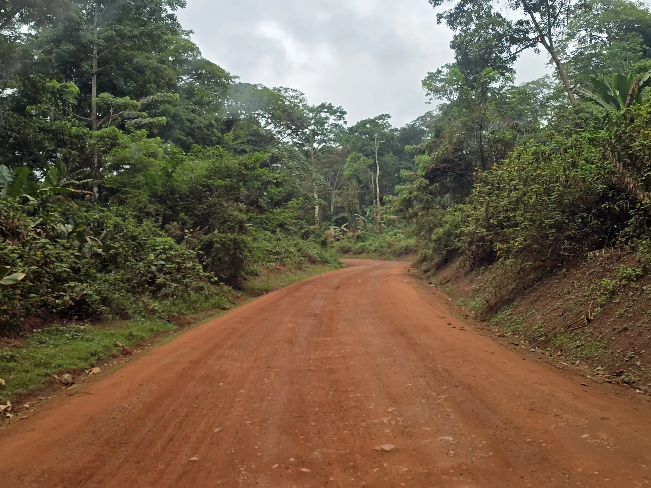
If lack of communication and an increasing sense of claustrophobia among Bob’s passengers was anything to go by, a change of scenery was overdue. That’s not to say there was anything wrong with the scenery. Quite the opposite. Being surrounded by virtually untouched rainforest in a vast, barely inhabited corner of Central Africa was pretty extraordinary. But the seemingly relentless challenges of overlanding had begun to wear us down. Bob had spent the last few thousand kilometers in limp mode, the heat and humidity and were unrelenting and we were becoming increasingly desperate for some infrastructure.
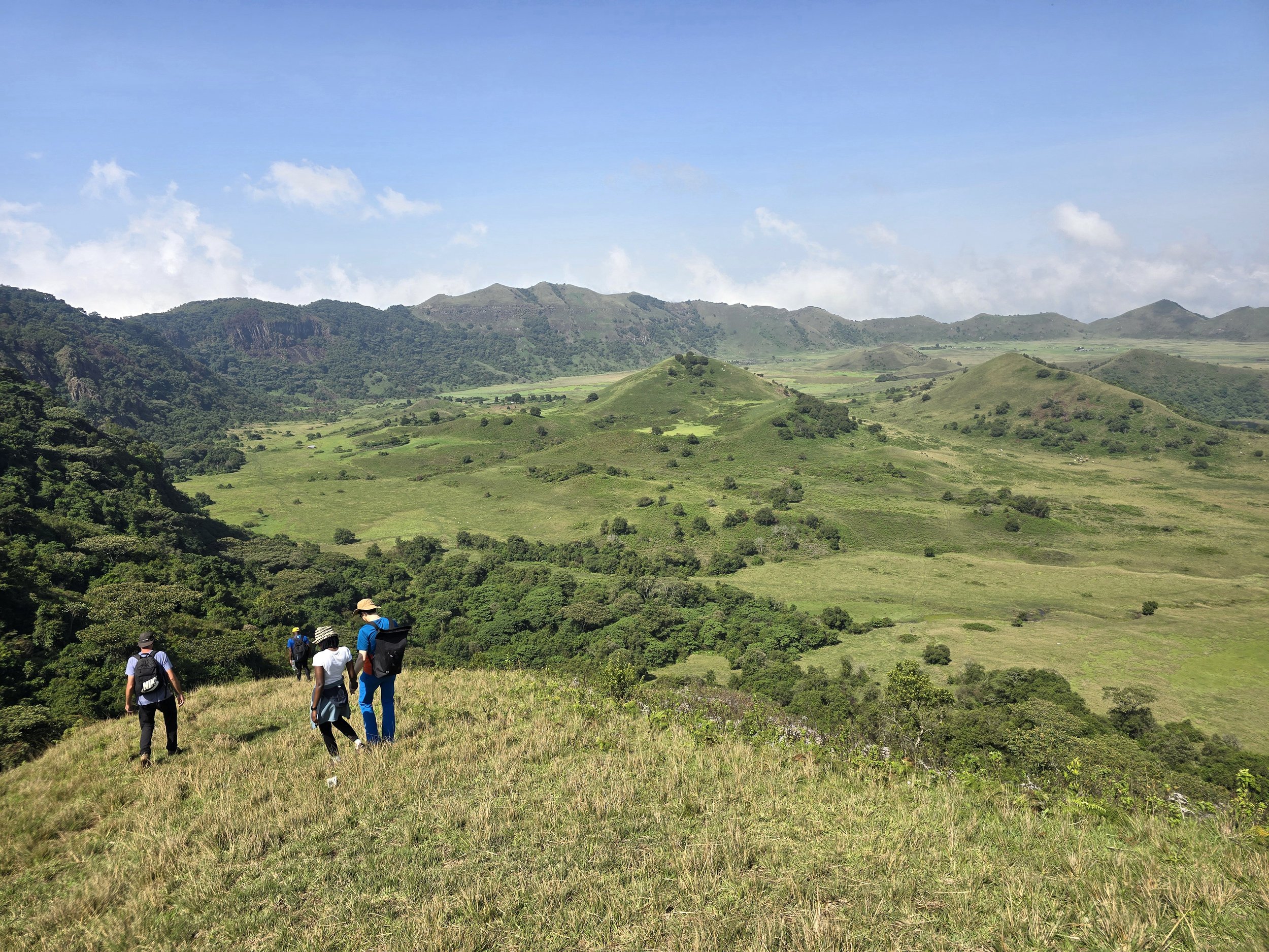
We are acutely aware of how fortunate we are to be able to relocate whenever we feel like it, so as soon as we reached Luanda, Angola, we flew to the UK with indecent haste. With legs desperate for some action and lungs long overdue for some fresh air, we headed for the Peak District and Malvern Hills, hiking through some of England’s loveliest countryside. It was a suitably gentle warm-up before tackling a 285 km march along the English-Welsh border on the national trail of Offa’s Dyke.
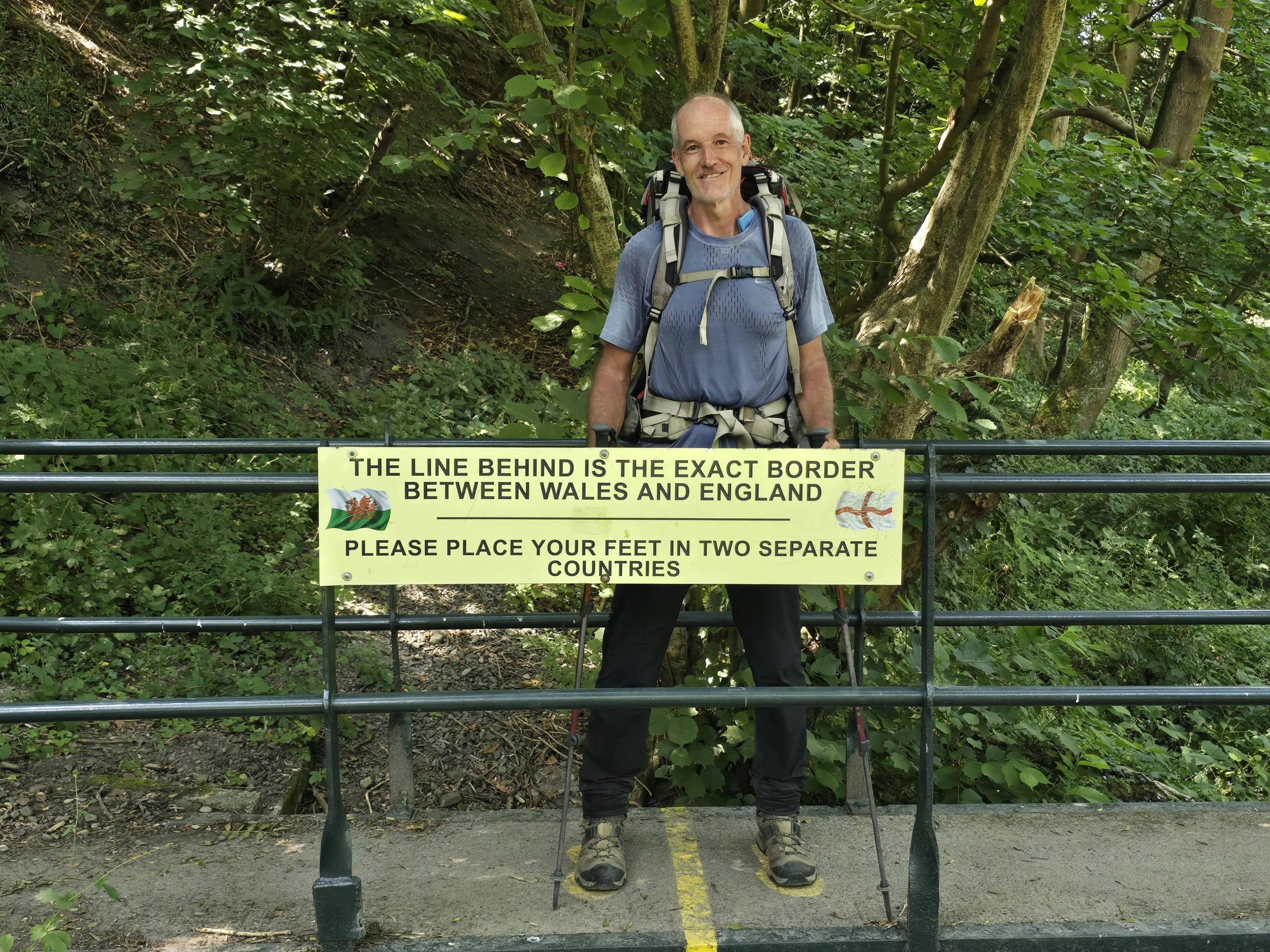
Offa, was king of Mercia, one of the dominant English realms during the Dark Ages. After claiming the throne on the battlefield in 757, he ruled for nearly 40 turbulent years. A committed, if belligerent, Christian who had prickly relations with the French; regularly fought the Welsh; subjugated several rival English kingdoms; and ruthlessly eliminated any relatives who might have challenged his only son succeeding him – which backfired when the son died six months later, effectively terminating Offa’s royal blood line.
The Dyke is a remarkably ambitious earthwork built on the orders of Offa. Quite why he built it is still debated, but the favoured explanation is that it was intended to discourage the Welsh from wandering too far east. A large ditch backed by a bank nearly three metres high in places was presumably considered a more effective deterrent than a polite exchange of diplomatic notes. Whether it actually kept anyone out is another matter, but it has certainly provided walkers with 285 km of reasons to question Offa’s definition of a sensible boundary.
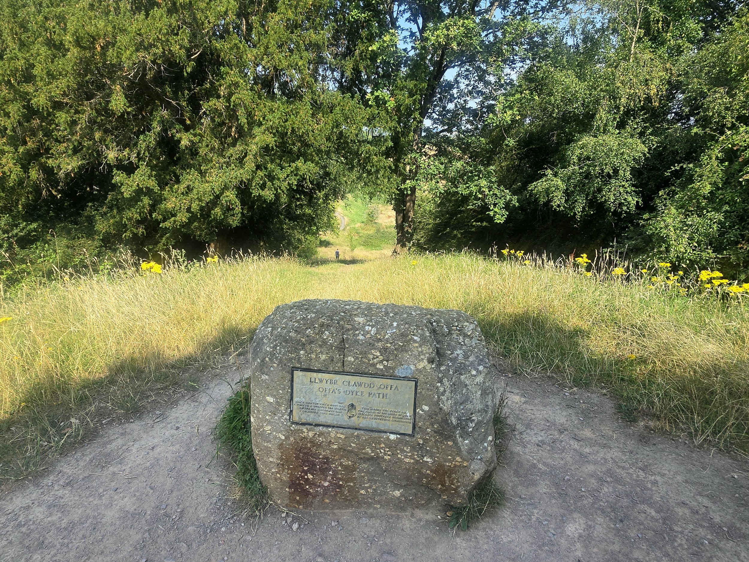
A slight oversight in our planning had us following Offa’s legacy from Prestatyn rather than the more traditional trailhead at Sedbury, just outside Chepstow. It hadn’t occurred to us that one direction might be preferable to the other, but after a few days on the trail, the prevailing weather and the fact that almost every other walker seemed to be heading in the opposite direction made the answer fairly obvious. South to north was clearly the sensible option. Unless, of course, you wanted to spend a fortnight walking directly into a heatwave, in which case we had chosen brilliantly.
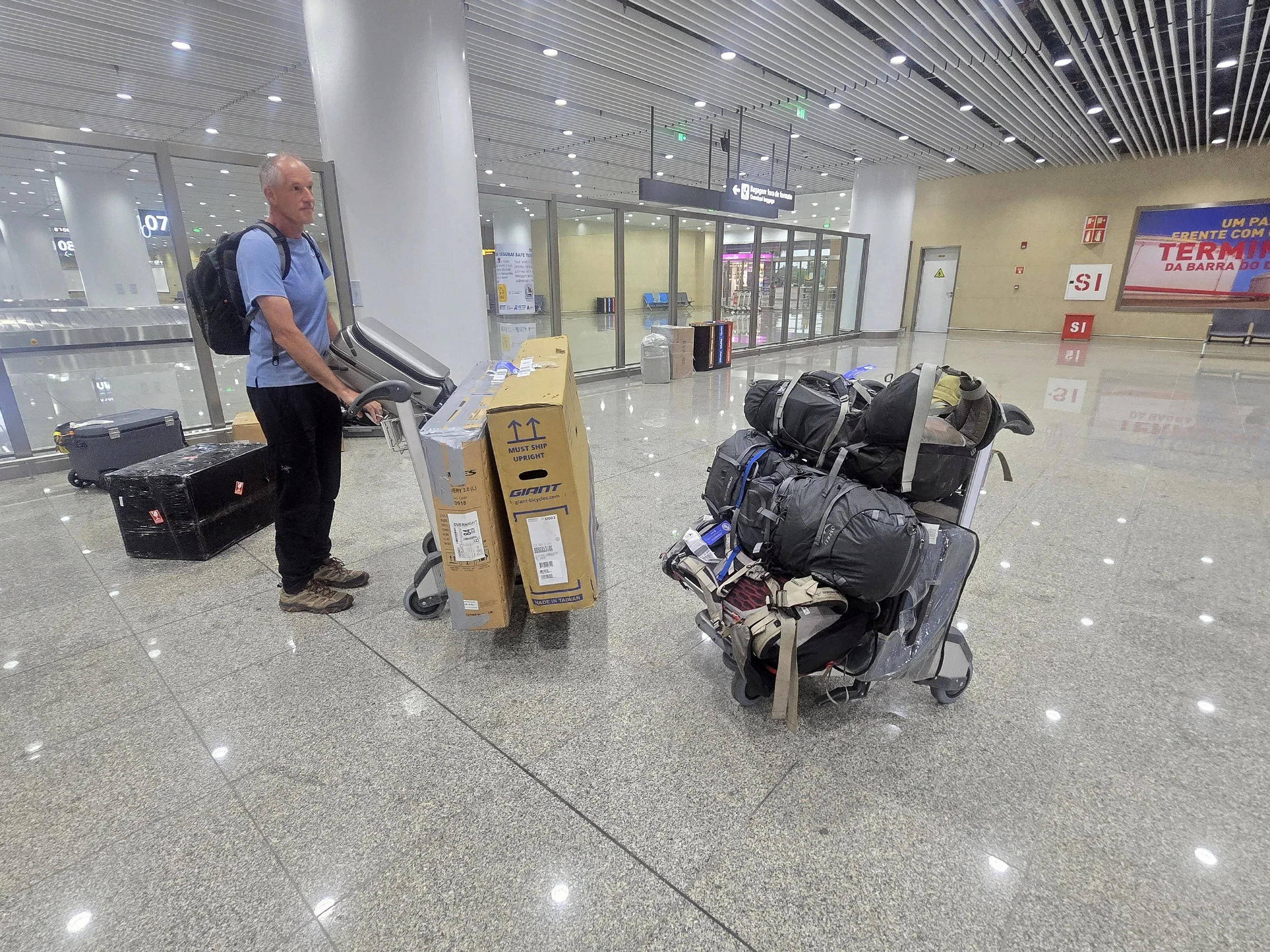
luanda airport
Any downtime between hikes was spent acquiring two new bikes (replacements for those now the main mode of transport in a remote Congo Basin settlement) and arrange for a new heavy-duty bike rack (broken pieces of the original also with the Congo locals) to be shipped from Australia. Importing the rack was straightforward. Finding bikes considerably less so. The Covid cycling boom had long since subsided, leaving many British bike shops struggling and keeping their stock levels to a minimum. Waiting for a particular model wasn’t necessarily the problem; finding one that actually existed was.
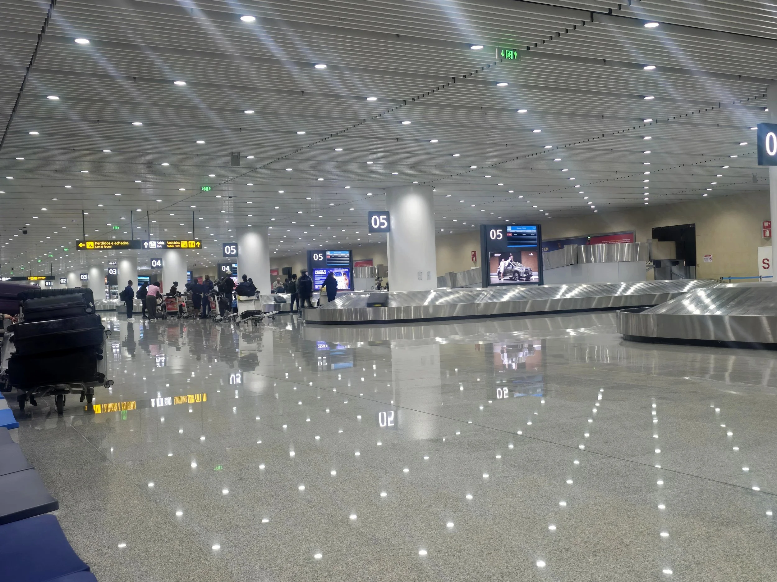
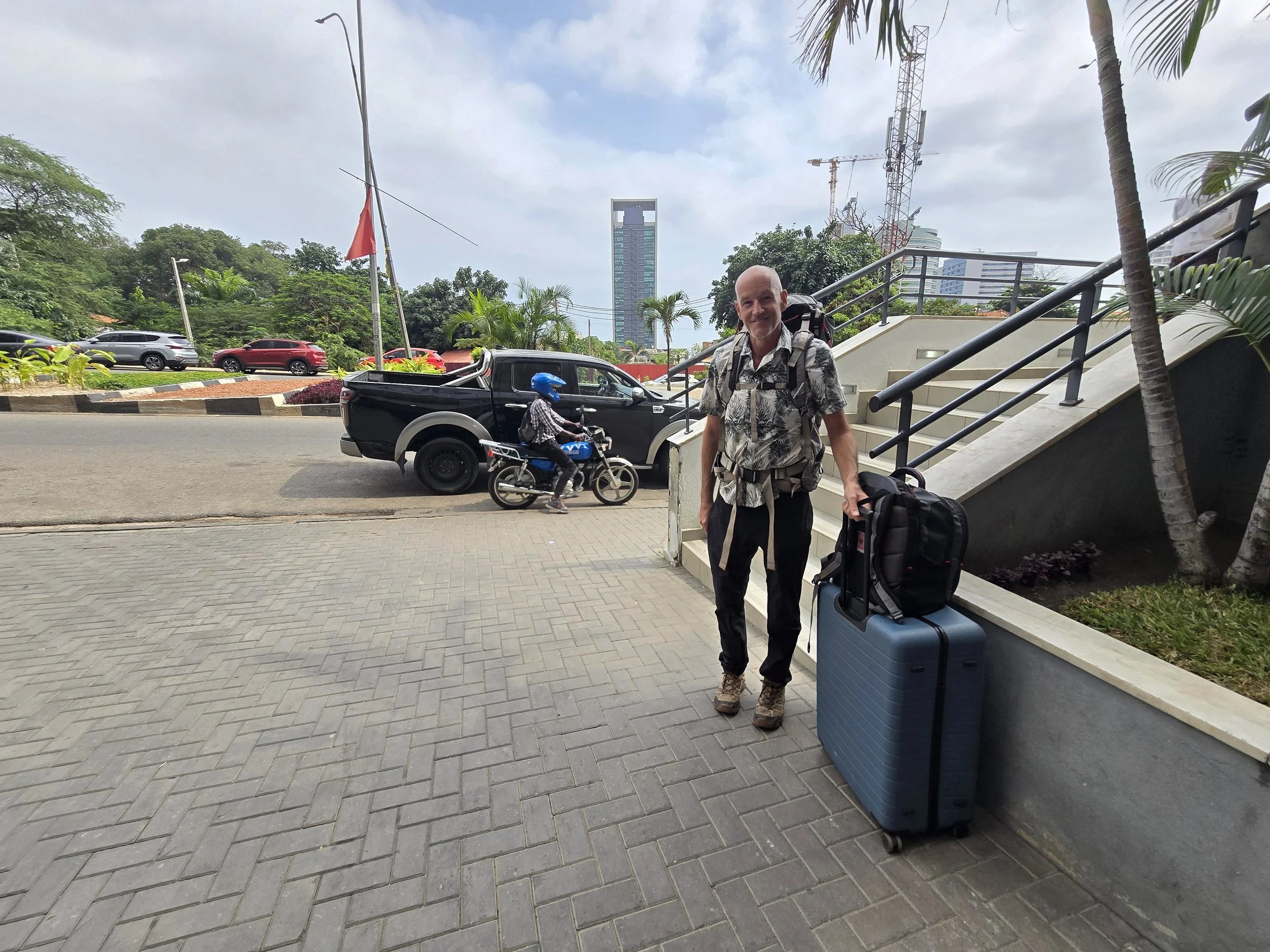
Persistence eventually paid off and we returned to Luanda fully loaded, accompanied by more than than 100kg of luggage. This included two boxed bikes, a 17 kg rack and an impressive quantity of other equipment that had somehow progressed from optional to essential during our brief absence.
And Africa was more than ready for us…..
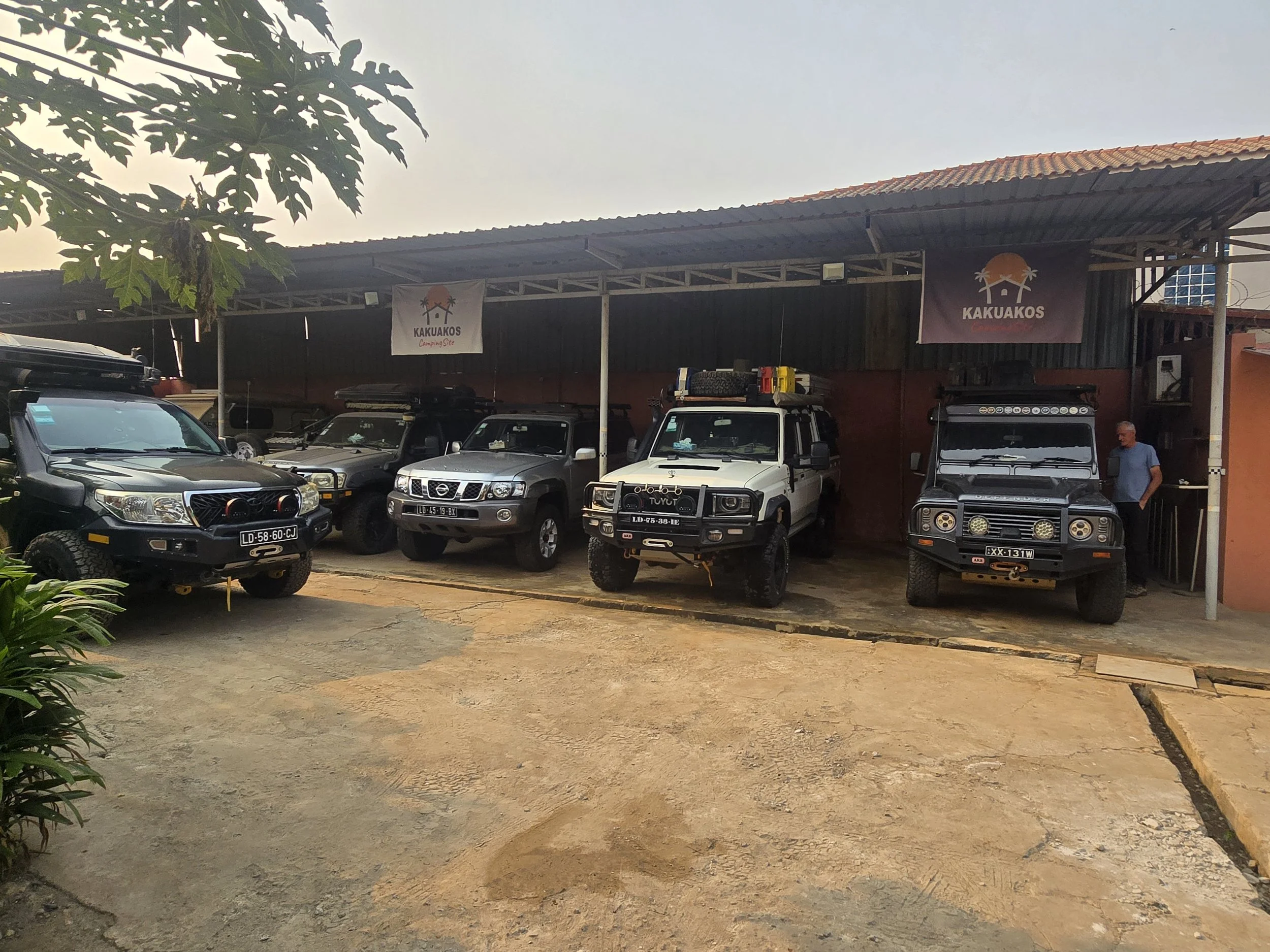
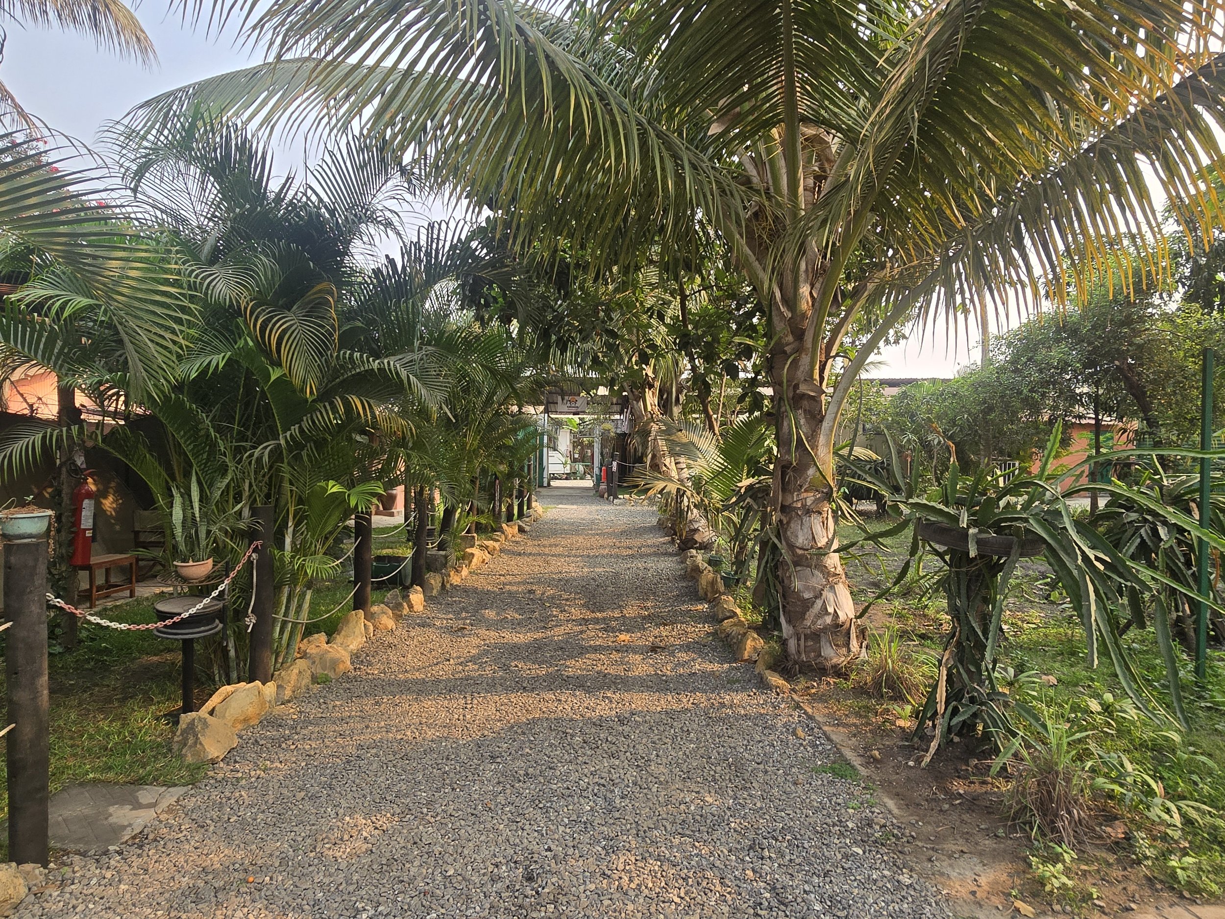
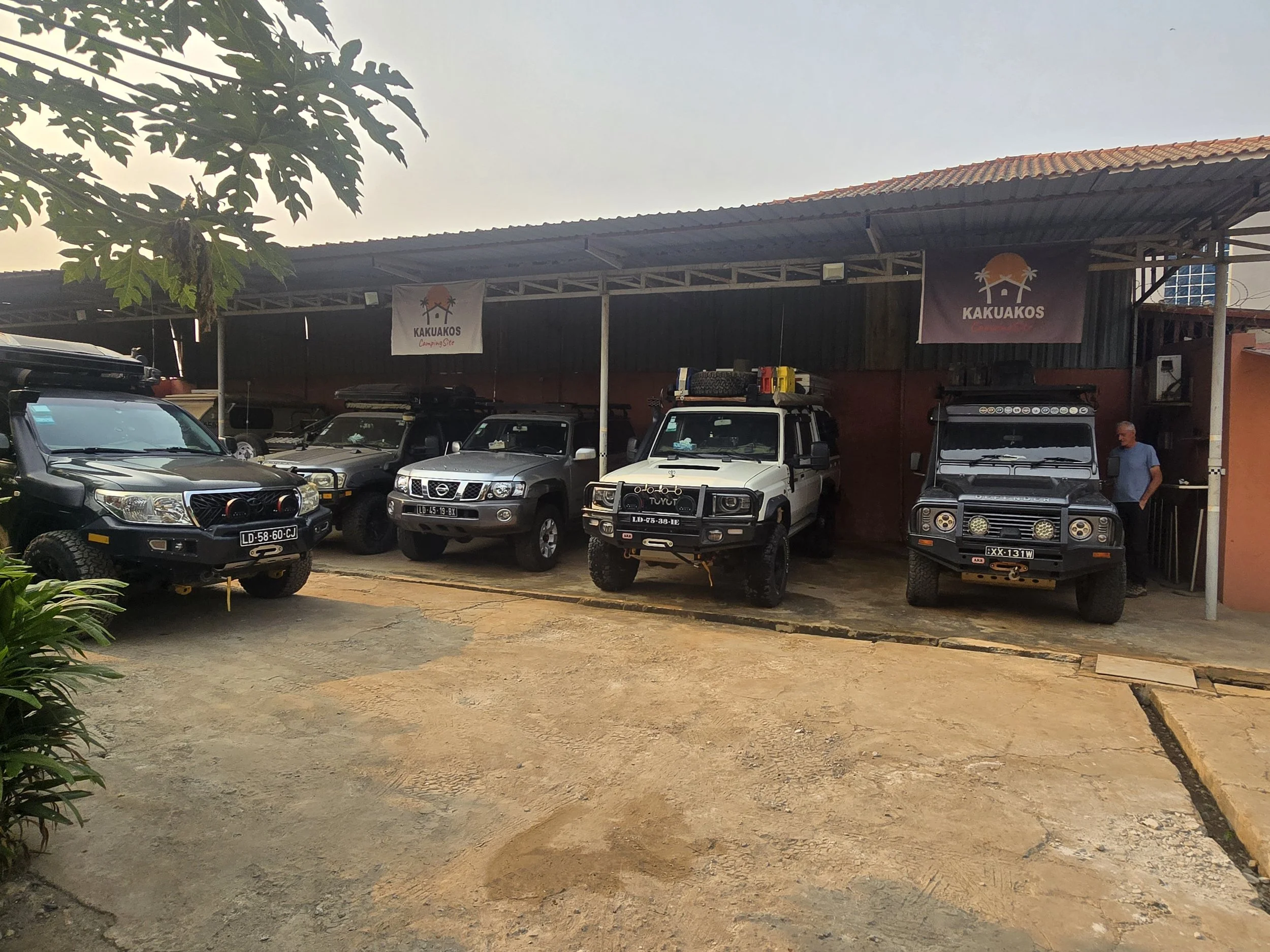
kakuakos overlanding camp
….. Angola’s main telecommunications operator, Unitel, had suffered a ransomware attack, taking an already temperamental system completely offline. Angola is tricky at the best of times, but it had now become almost impossible to navigate unless, by some stroke of unusual foresight, you had ignored Airtel and opted for an Africell SIM. Needless to say, we had followed the prevailing flock and were sorely missing our Starlink access due to a licensing impasse which is now in its fourth year.
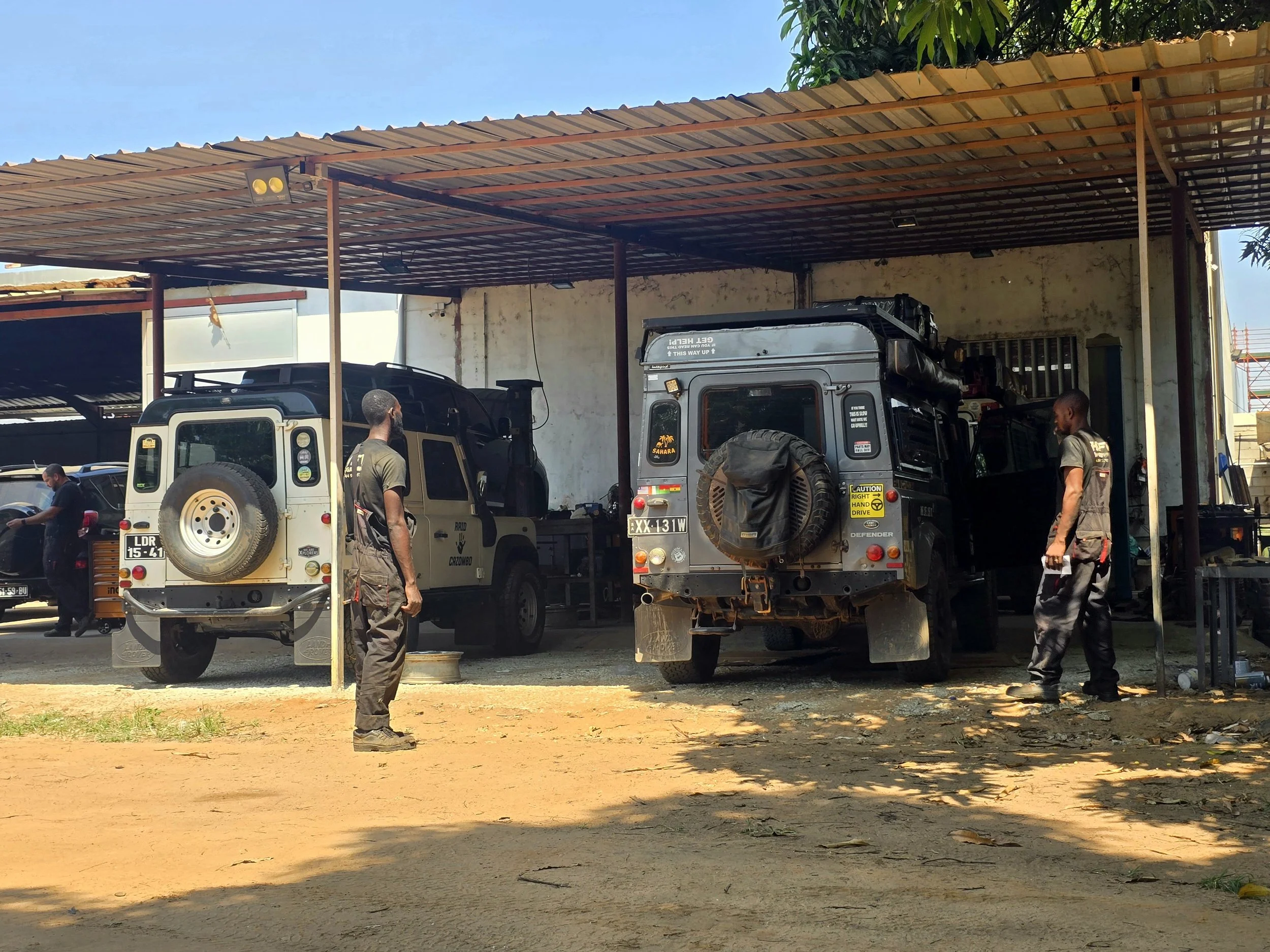
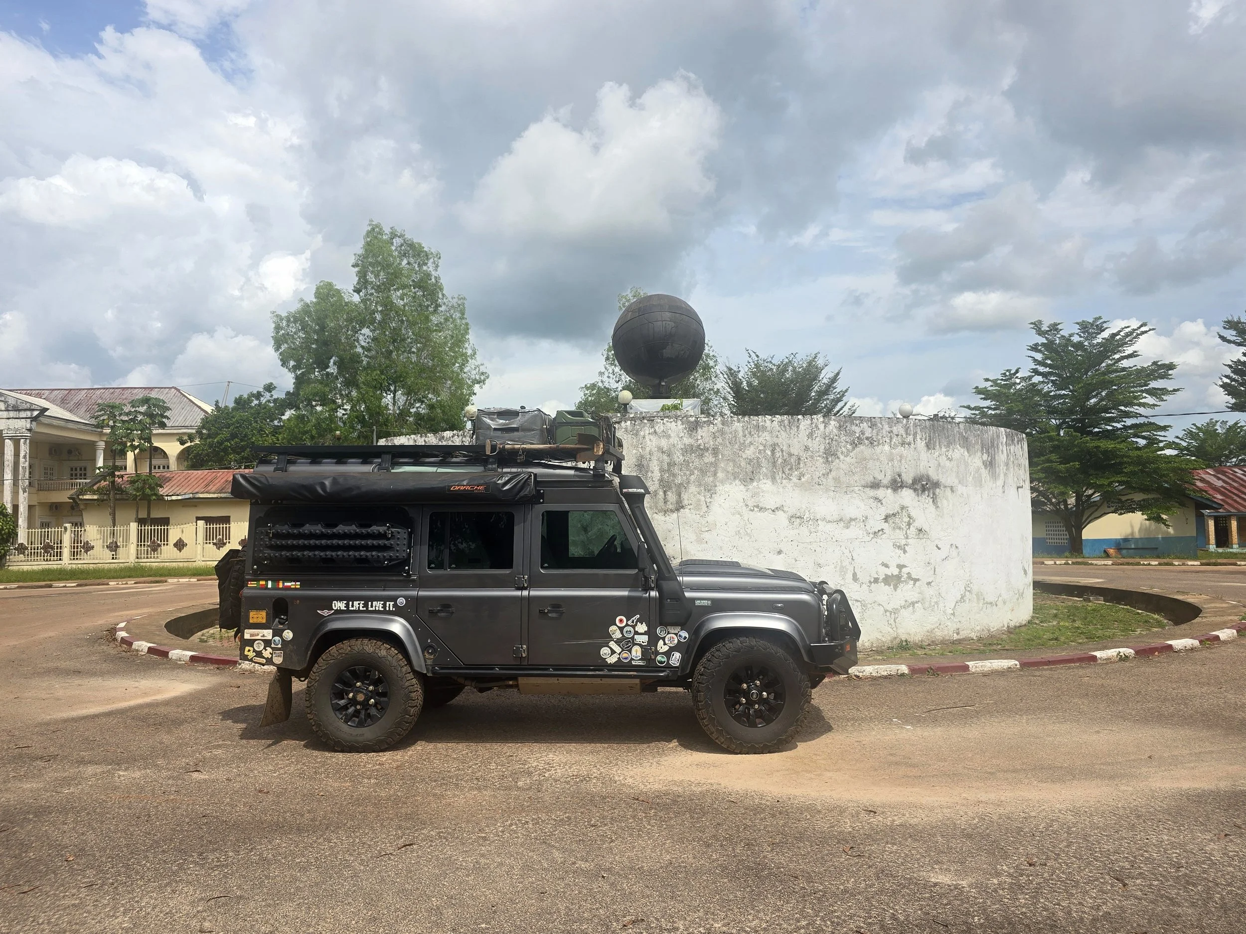
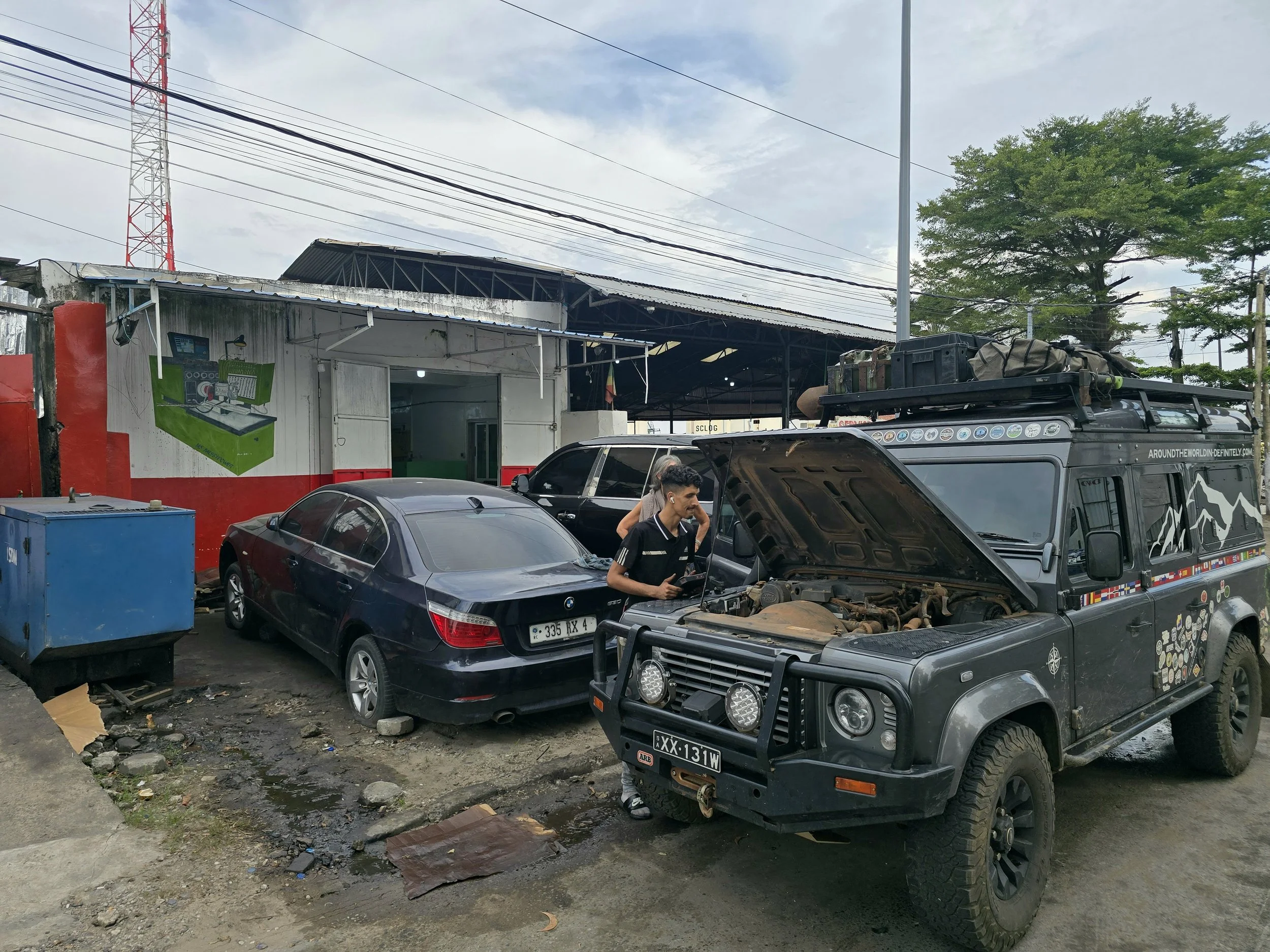
In our absence, Bob had been stored at Kakuakos overlanding camp on a trickle charger and, encouragingly, started first time. Our brief delight was almost immediately extinguished by the bright glow of the engine warning light. Armed with a random and, as it turned out, largely useless collection of replacement parts, we trundled round to the Land Rover mechanic. A new and genuine MAF sensor made no impact whatsoever.
After lengthy inspection, the problem, it seemed, was the turbo. A replacement was required. After several months of African massage, Bob had clearly decided it was time we paid him some attention.
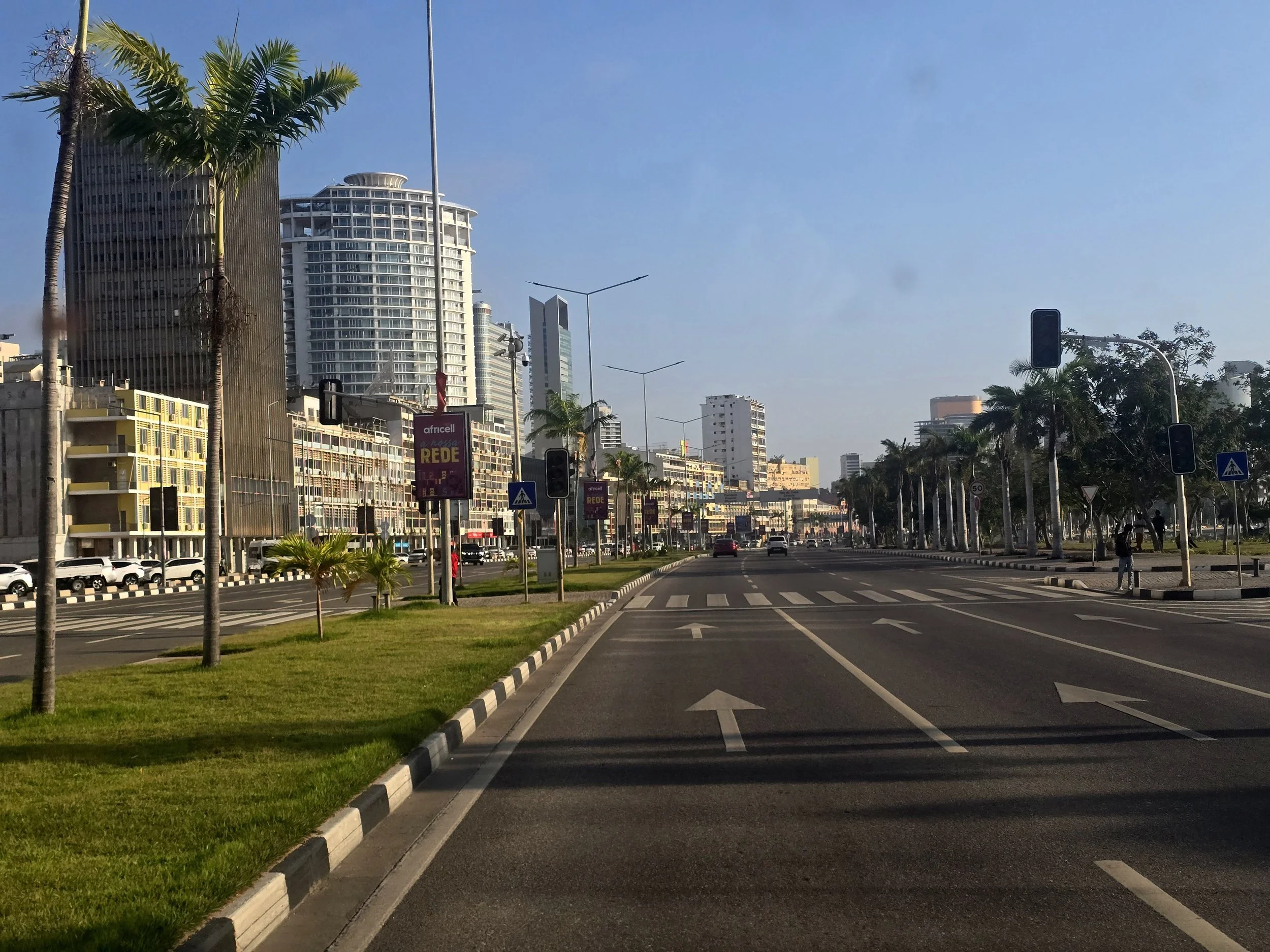
luanda for some
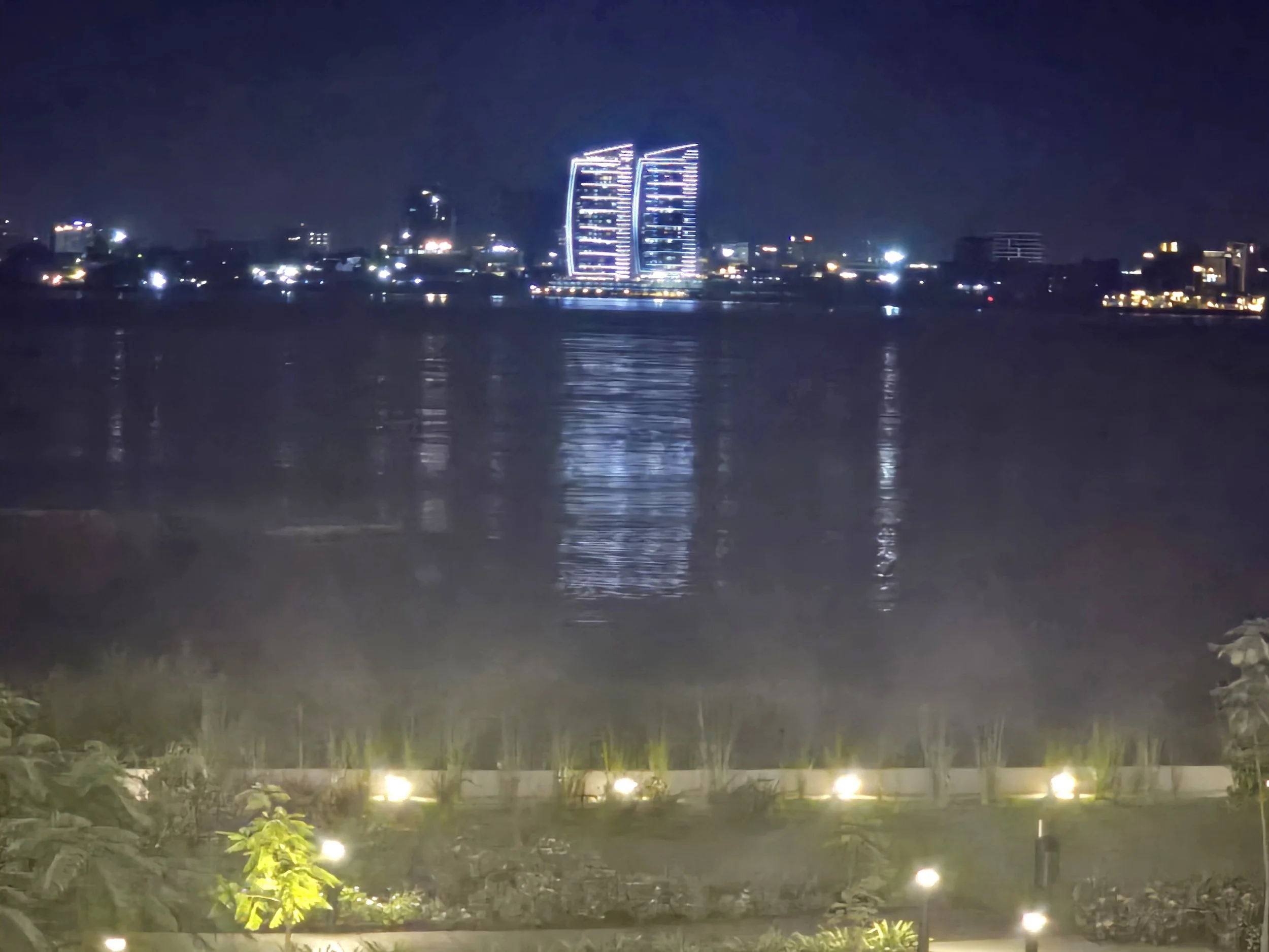
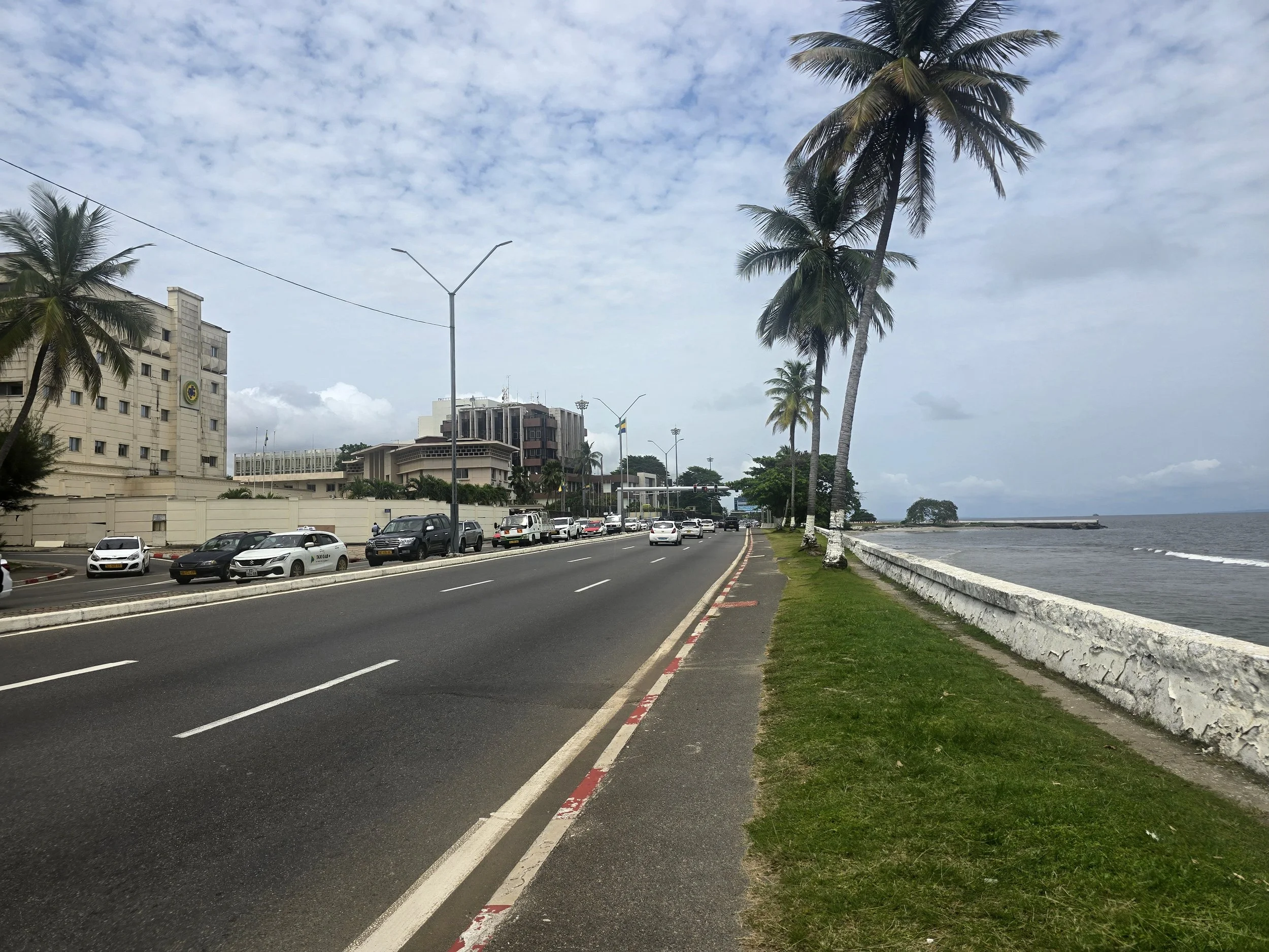
Modern Angola remains dominated by the MPLA, the party that led the independence struggle and has been in power ever since. During the oil boom of the 2000’s, the country earned tens of billions of dollars from exports and Luanda became one of the world’s most expensive cities. Huge infrastructure projects followed, but despite the wealth pouring into the country, Angola remained heavily dependent on external finance for much of its reconstruction, while international organisations continued to fund health, education, water, and governance.
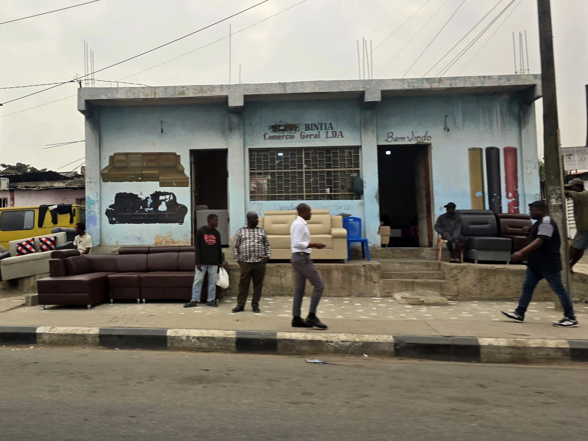
luanda for others
Perhaps the best illustration of this contradiction is a much-loved anecdote. An Angolan delegation would arrive at an international conference seeking assistance with the country’s reconstruction, only to leave having placed orders for enough German cars to ensure that every Minister had multiple transport options. The problem was never quite a shortage of money; it was deciding where the money should end up.
It is a dilemma that remains evident today. Even in Luanda, electricity often depends on private generators, water on storage tanks, and reliable services on an individual’s ability to provide them for themselves. Parts of Angola look remarkably wealthy, yet the country still functions cautiously. Imported goods are available, but getting them into the country is neither simple, efficient nor cheap.
Less than 24 hours later we were back on a plane, this time to Windhoek, Namibia, where an impressively well-stocked Land Rover parts shop had what we were looking for. Rather prematurely, we thought we were ready to return to Angola when a WhatsApp pinged through.
Bob’s intercooler was broken.
Back to the shop we went and more money changed hands.
Another WhatsApp
The air-conditioning compressor had corroded.
We were fast approaching the point where the chap running the Land Rover shop might reasonably have invited us to his weekend barbecue. He warned us that, being Friday afternoon and with the shop closed on Saturdays, our window for discovering further problems was rapidly closing.
Our departure from Hosea Kutako Airport back to Luanda provided another lesson in African bureaucracy. Our newly acquired car parts had been hidden distributed in various pieces of luggage; except for the intercooler, which was too large for a suitcase and had been given its own heavily taped cardboard box.
“Is this new?” The check-in girl asked.
“No”, said Ian, slightly confused as to which country was likely to trigger a customs issue.
A quick look at the invoice, combined with an admission that Ian’s hearing was not what it once was and perhaps a brief inspection of the suspiciously large cardboard box, should have settled matters. Instead, we embarked on more than an hour of he-said, she-said, phone calls and consultations with the airline’s office in Luanda.
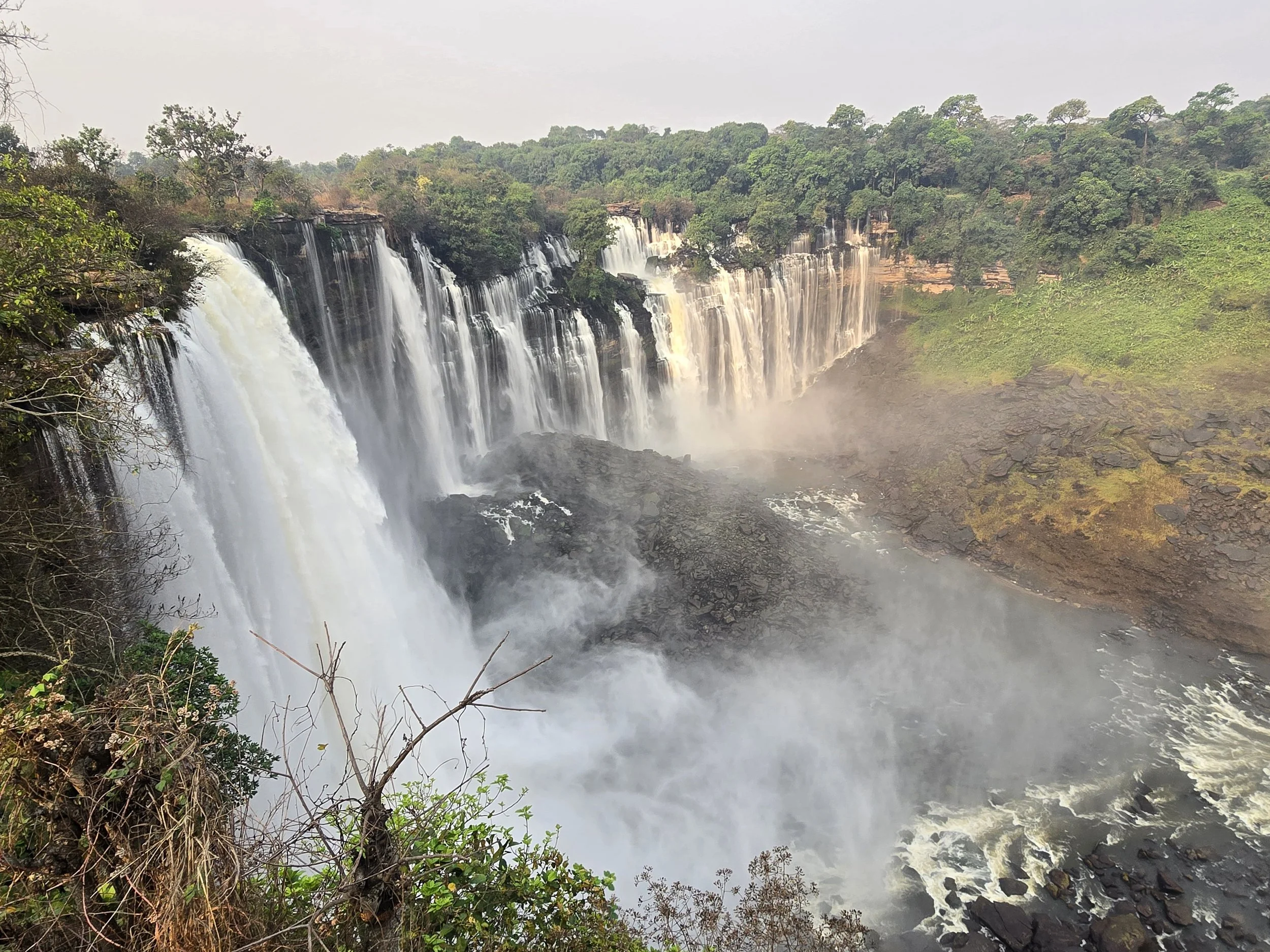
kalandula falls
Eventually we were allowed to get on the plane.
Most of our fellow passengers appeared to be returning to Angola with a remarkable quantity of cardboard boxes, presumably containing goods destined for resale. Customs were considerably more interested in them than us, allowing us through the “nothing to declare’ channel with barely a glance. We paused only long enough to make sure our photoshopped, heavily discounted invoices had disappeared into a bin.
Once the parts had been handed over to Hernane, the mechanic, and not wanting to see Bob dismantled, we set off on a three-day tour into Angola’s interior. Despite high unemployment and widespread poverty, travelling as a tourist in Angola is anything but cheap. The price of the tour seemed particularly ambitious when a tiny Suzuki Swift arrived to collect us the following morning. The eight-hour journey to our destination felt considerably longer with our chins almost resting on our knees and a suspension system designed to punish optimism.
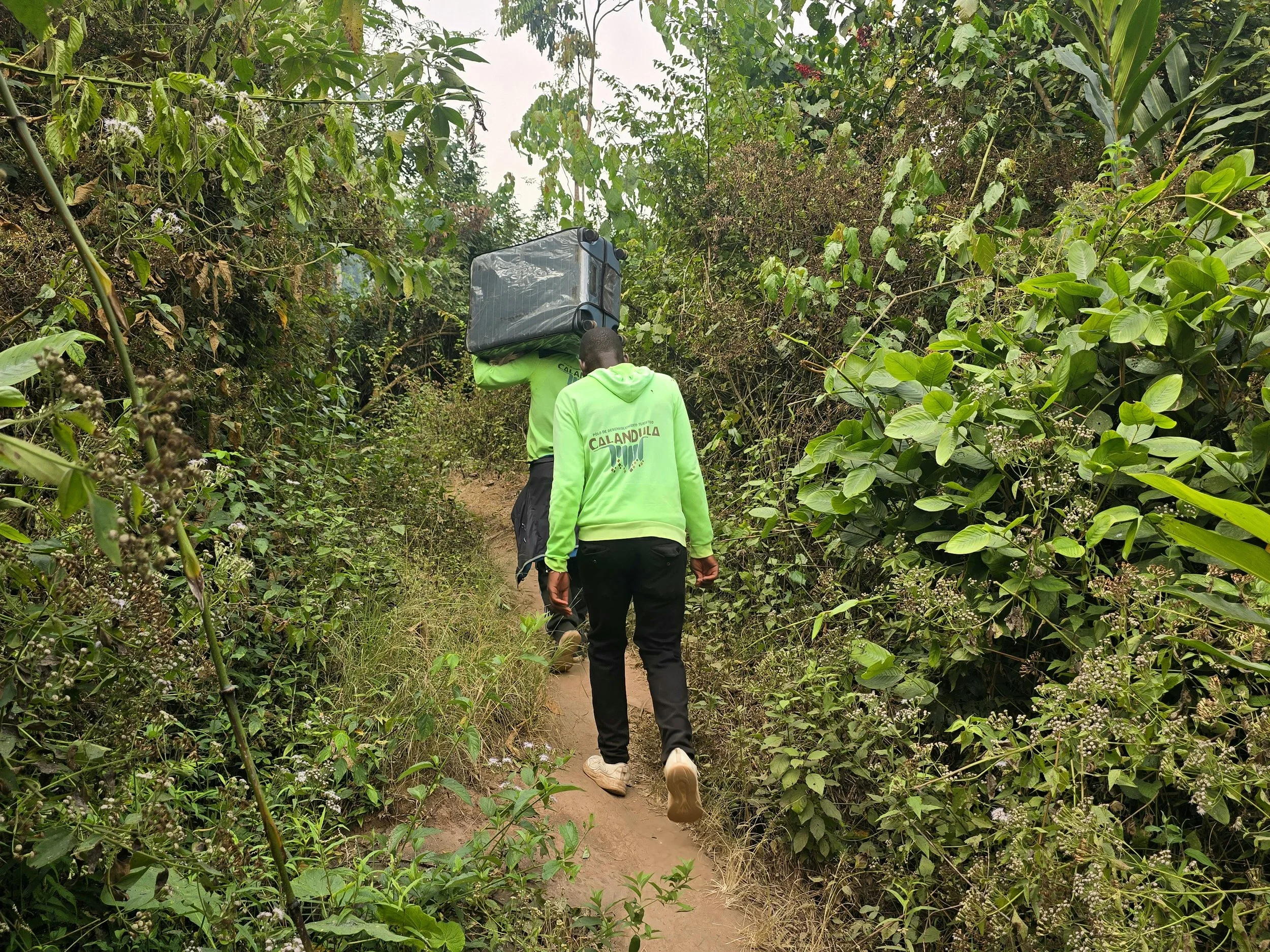
Our first stop was Kalandula Falls, one of Africa’s great waterfalls and an impressive sight even before we discovered where we were staying. High on the opposite side of the canyon was a glass-fronted lodge accessible to us only by a steep descent, a short canoe crossing and an enthusiastic climb.
Any overlanding credibility we may have accumulated during more than 5 years on the road disappeared in less than 5 minutes. Having had no real access to Bob since returning from Namibia, I had a large suitcase in tow. It was mortifying following a local guide balancing my heavy case on his shoulders as we descended the slippery path. After crossing the river by canoe, my embarrassment was slightly tempered by the guilty pleasure of watching him haul it back up the opposite bank while I followed empty-handed.
Sweating and out of breath, we eventually emerged onto the lodge lawns looking less like adventurous travelers and more like people who had misplaced their taxi. Our discomfort was compounded by the presence of two Danish guys raising awareness of Africa’s freshwater problems; they had walked all the way from Denmark pushing a pram!!
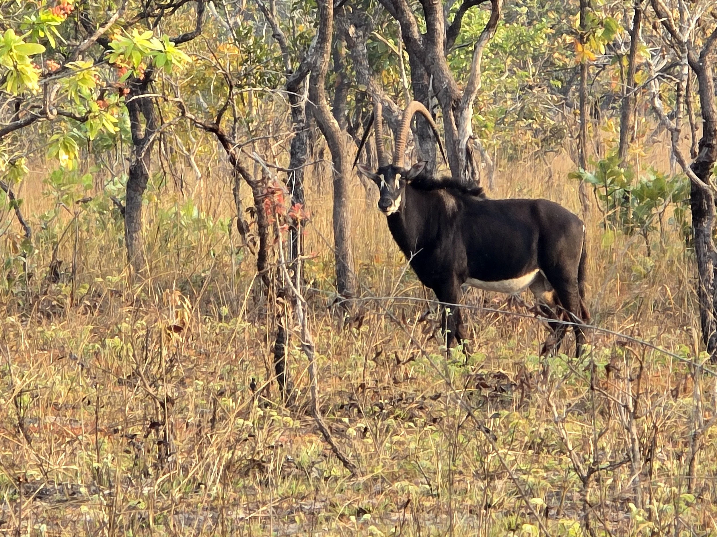
giant black sable
The Palanca, or Giant Sable Antelope, is Angola’s national animal, yet most Angolans will never see one other than on stamps, banknotes, passports and as the emblem of TAAG Airways. What makes it unique is that it is found nowhere else on earth and fewer than 300 are thought to survive, making it one of Africa’s rarest large mammals. Confined to a relatively small area of central Angola, a sighting of these magnificent beasts, that have somehow survived decades of war and poaching, was rather more significant than the average safari encounter.
We had specifically arranged our trip around finding them, so naturally we were informed the following morning that there was no suitable vehicle to take us into the park.
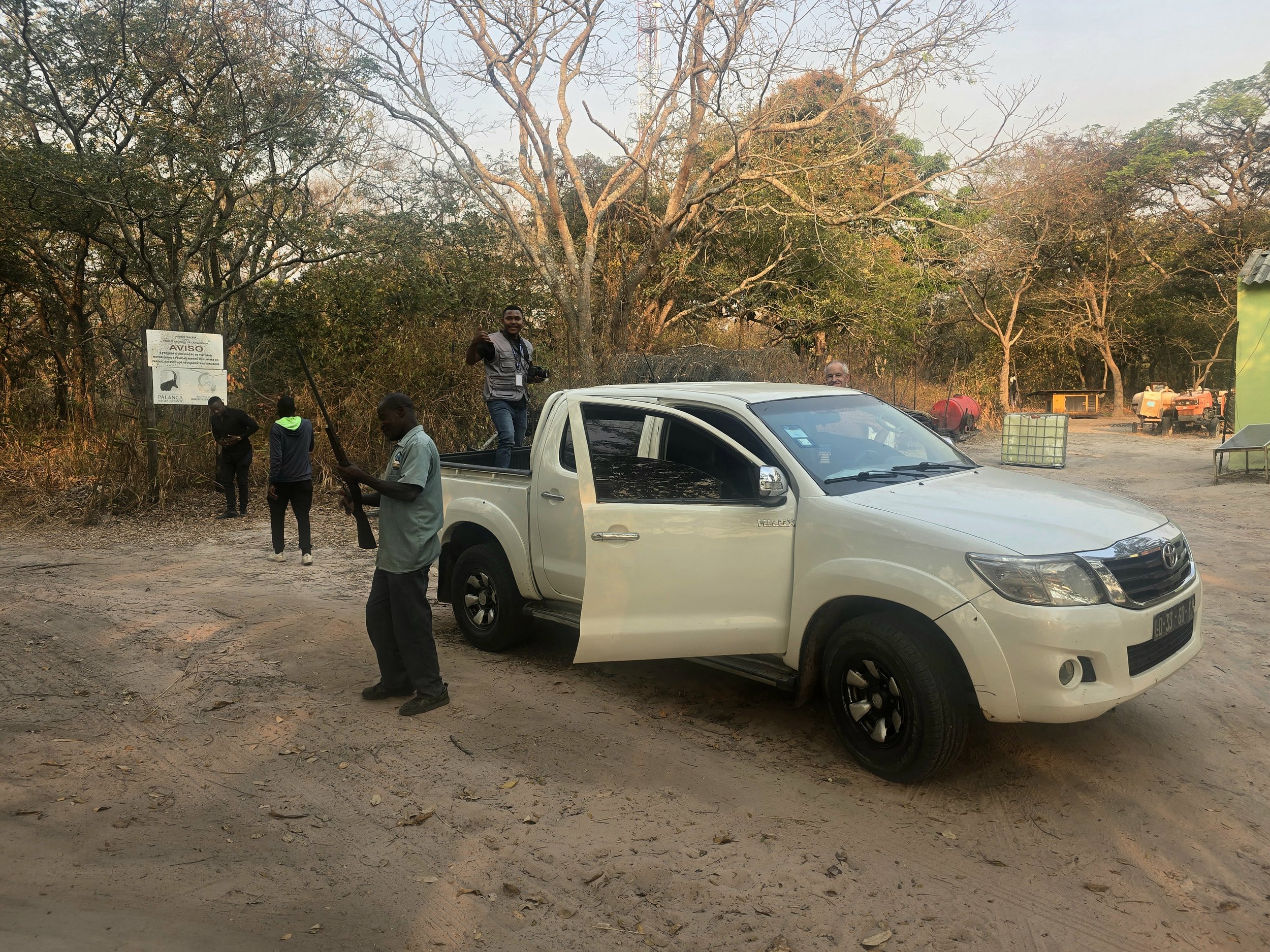
calandula national park
Unwilling to accept this without a fight, we hassled our guide until a driver with a Hilux was found. By the time the vehicle had been located and negotiations over payment had reached an acceptable conclusion, it was well past midday. The change of transport would have been a vast improvement, had it not resulted in almost everyone who happened to be nearby deciding that they too should come along. A trip to see Angola’s national animal was clearly not an everyday event.
Two hours and 60 km of sand tracks later, we reached the enclosed park. A safari vehicle would have been useful, but as the only other vehicle around was a tractor, we remained in the Hilux, with two park rangers and their rifles squeezed in for good measure.
We wondered briefly whether Giant Sable Antelope were unusually aggressive.
Despite the driver’s increasingly obvious reluctance to take his vehicle any further into the wilderness, the armed ranger was persuasive. We bounced through long grass, craning our necks, in the hope of spotting something. We didn’t have to wait long. Large black shapes began appearing between the trees and we soon found ourselves driving alongside a small herd shepherded by a jet black bull with brilliant white facial markings and a white belly. Enormous backward-curving horns, in excess of 1.5 metres in length perhaps explained the presence of the guns.
The excitement inside and on top of the Hilux was extraordinary. Even the driver briefly stopped worrying about what the terrain was doing to his undercarriage. Rangers aside, none of us had ever seen a Giant Sable before. It was a special moment when, for once, all the persuasion, delays and negotiations were justified.
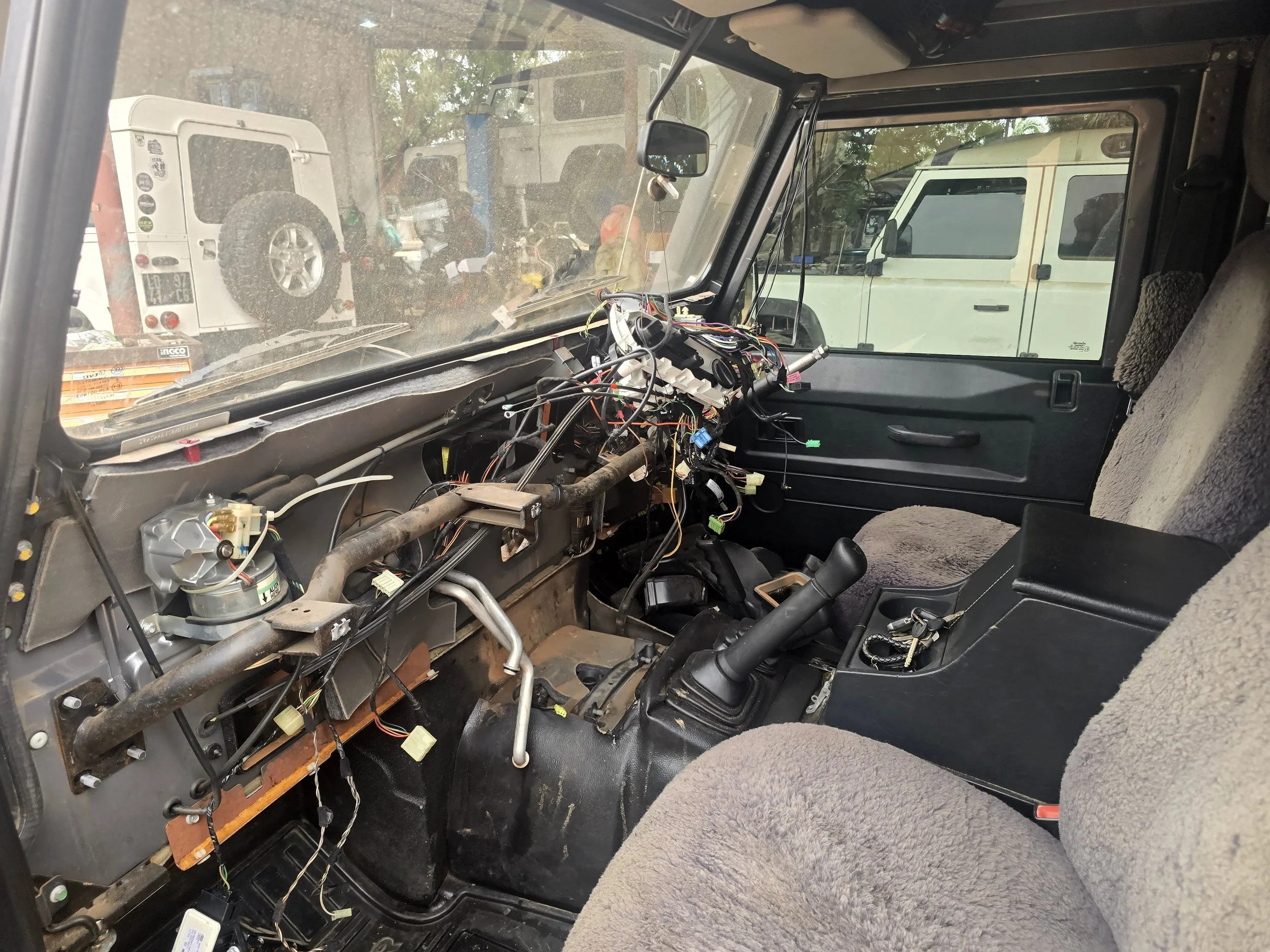
oh dear!
Returning to Hernane’s a few days later, we were slightly alarmed at the state of Bob. The entire dashboard had been dismantled, several large engine components had disappeared, and everything was covered in a thick layer of grime. Heavy traffic on the unpaved roads around the enormous industrial area throwing up a constant cloud of dust.
With nowhere else to go, and unable to call a taxi due to the still ongoing problems with the country’s communications, we made ourselves as comfortable as possible in the yard. Hernane, his wife and two children lived in a property adjacent to the yard and proved generous hosts. Inclusion at family meals, an evening at the local padel centre – an excellent place to work off any lingering Land Rover frustrations – and trips to supermarkets and restaurants helped to pass the time. It was beginning to feel less like a mechanical repair and more like an extended family visit, albeit one in which our host had possession of our vehicle.
Late on Sunday, Bob was finally given the thumbs up and we headed back to Kakuakos to collect the remainder of our belongings. The engine had rediscovered its familiar diesel thrum and the steady mechanical rumble sounding reassuringly healthy. But, the air-conditioning controls were all jammed, directing a newly impressive and powerful blast of cold air exclusively at our feet. Fortunately, this was a relatively minor problem and a couple of hours back at the yard the following day put it right.
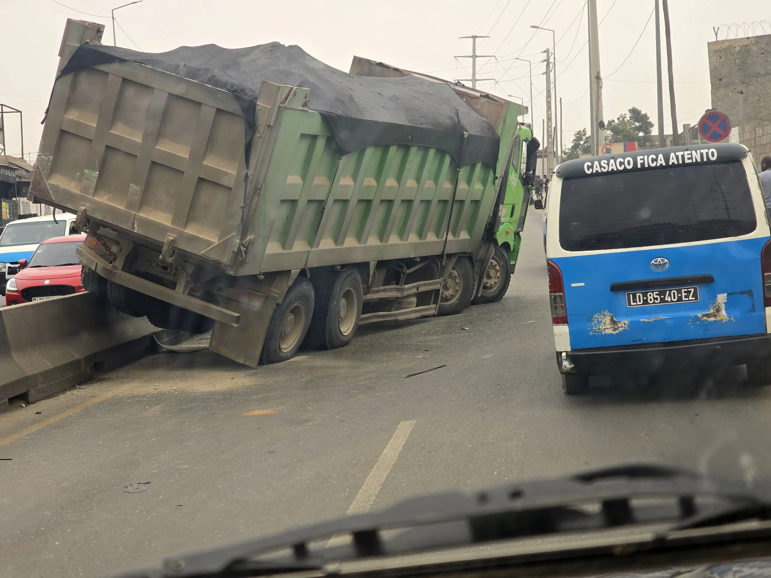
typical luanda traffic
After an interminable time, we were finally back on the road.
It took more than two hours to cover the first few kilometres, our average speed rarely reaching 4 kph as we battled our way out of Luanda. Eventually, the traffic thinned and we were free of a capital containing roughly 9 million of Angola’s 37 million inhabitants.
The roads were, for the most part, good, and our route south progressed at a thrilling speed. Initially, the route followed a coastal escarpment, marking the transition from sandy beaches to interior plains. Large river valleys cut through the rocky landscape, narrowing in places into pretty canyons and gorges as they headed towards the Atlantic.
One of our more unusual camping spots was at a paragliding centre.
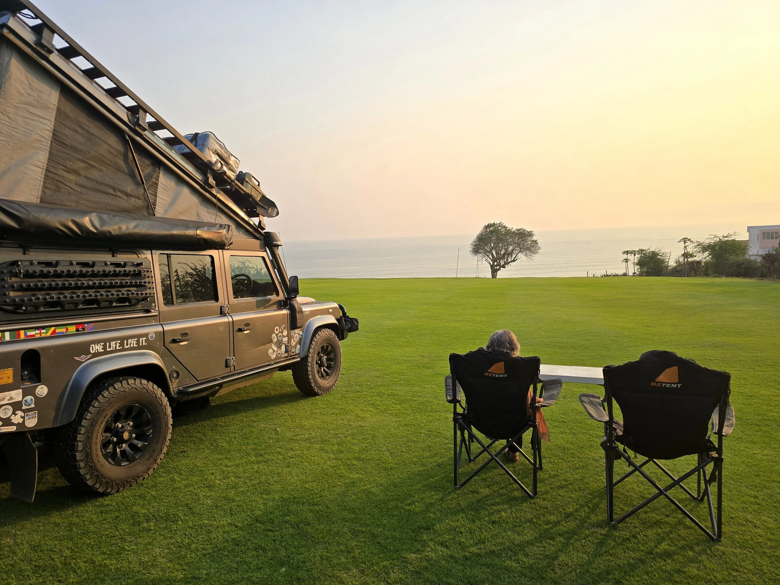
parapente angola
Paragliding arrived late in Angola. After almost three decades of civil war, recreational flying was understandably not high on the national agenda. Following peace in 2002 however, pilots began exploring the country’s coastal escarpments, eventually leading to the establishment of Parapente Angola by the country’s first registered and certified pilot.
The original aim was to introduce 30 children and teenagers to the basics of paragliding. It proved considerably more successful than that, transforming young lives, bringing the local community together and, rather unexpectedly, opening a door for adventure tourism.
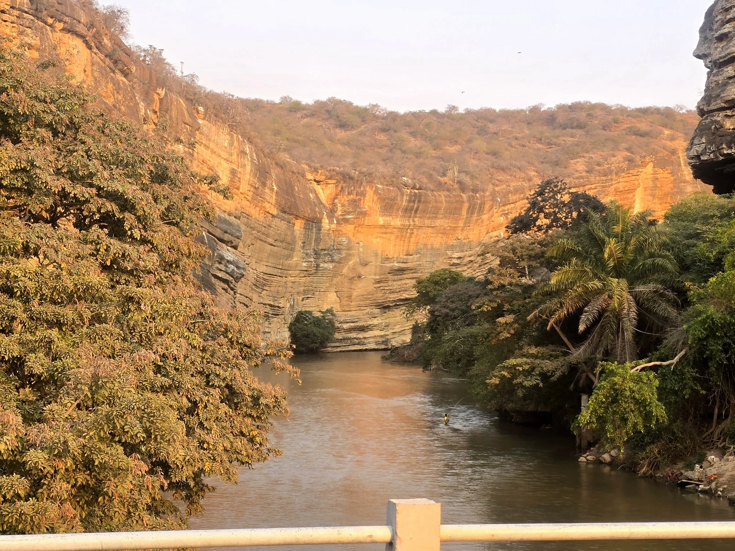
Leaving the large coastal town of Benguela, the road climbed steadily away from the Atlantic, crossing a dry coastal plain, before reaching the Angolan highlands and the cooler Huila plateau around Lubango; the country’s second largest city almost 1,800 metres above sea level. The N105, largely rebuilt after the civil war is now one of Angola’s major paved routes. Some sections were still under construction and there were enough potholes to make micro-napping inadvisable, but with Bob happily firing on all cylinders, it was the most enjoyable bit of overlanding we had experienced for some time.
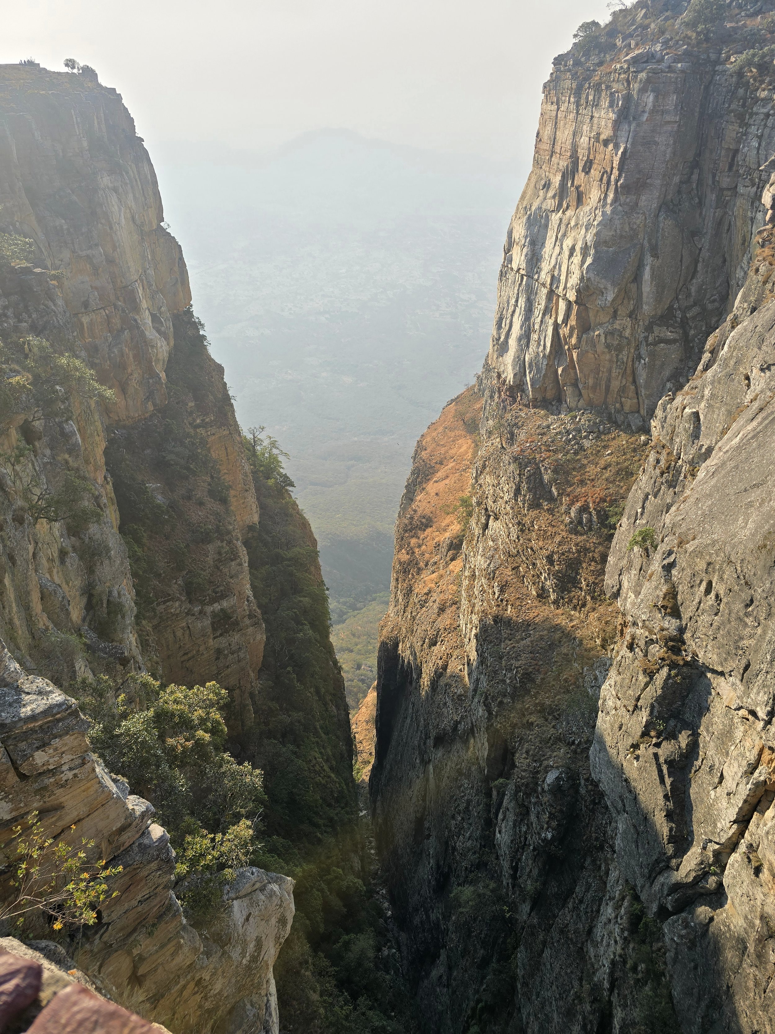
Our stay in Lubango was extended by a few days thanks to an unfortunate encounter with roadside chicken but the delay allowed more time to explore another of Angola’s great natural spectacles: the Tundavala Gap.
tundavala gap
Here, the plateau, rising to around 2,200 metres, simply falls away almost vertically towards the Namib plain. You drive through perfectly ordinary highland countryside and then, with remarkably little warning, run out of Africa. One minute there are fields and cattle; the next there is a cliff almost a kilometre high and a view so vast it looks as though somebody has forgotten to put the bottom half of the country back.
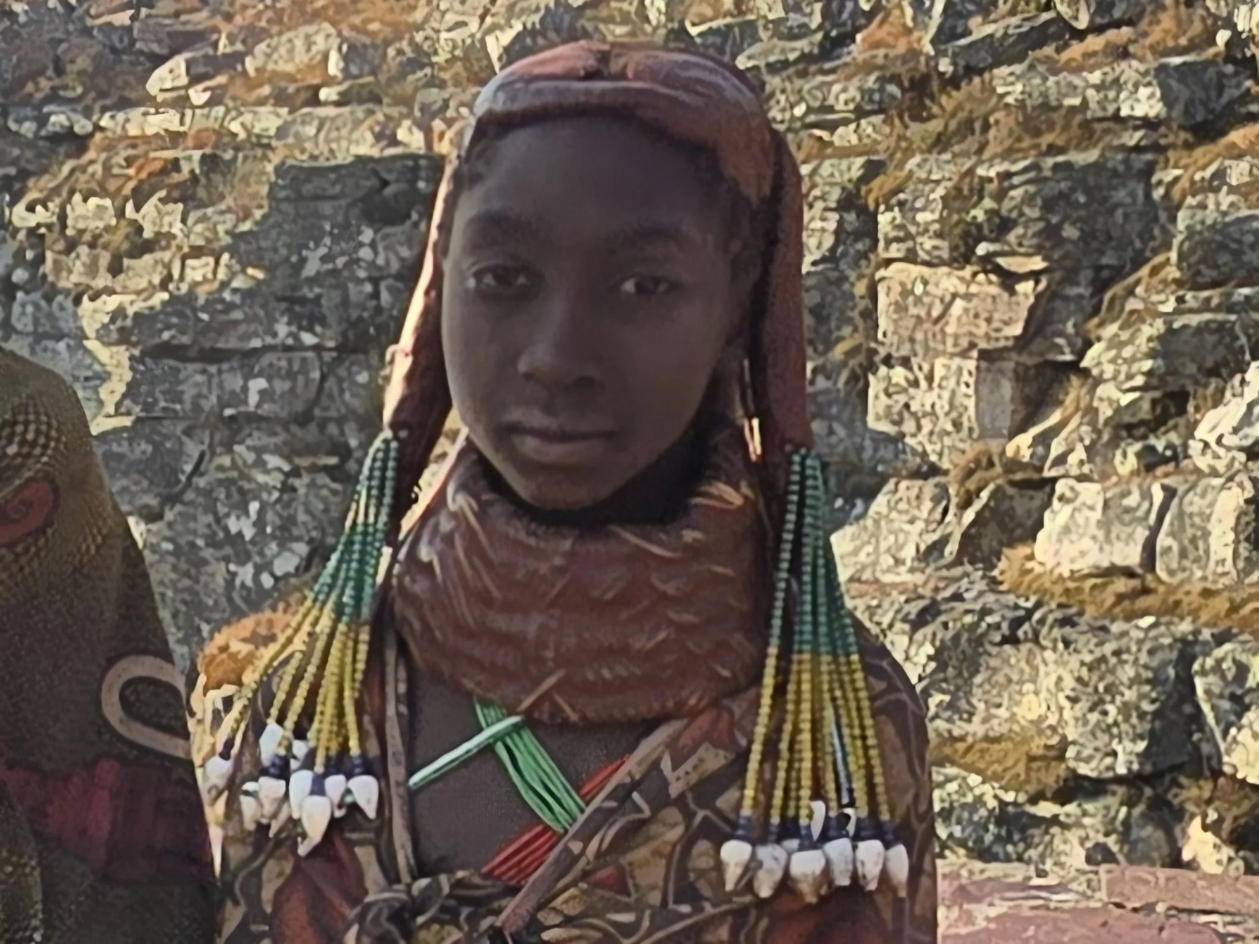
The Tundavala Gap may be Huila’s great geological spectacle, but the plateau itself belongs to the Mumuila, who have lived among these grasslands and escarpments for generations, traditionally measuring wealth in cattle rather than oil wells.
mumuila girl
The Mumuila women were impossible to overlook. Their plaited hair was heavily coated in a mixture of red earth and butterfat until it seemed to have absorbed the colour of the plateau itself. Heavy layers of beads formed collars around their necks, creating an appearance that was both strikingly elegant and unmistakably traditional.
What struck us most was not the elaborate appearance but the complete lack of self-consciousness with which it was worn. They weren’t putting on a show for tourists – although Africa is rarely slow to recognize a revenue opportunity – this was simply how they presented themselves.
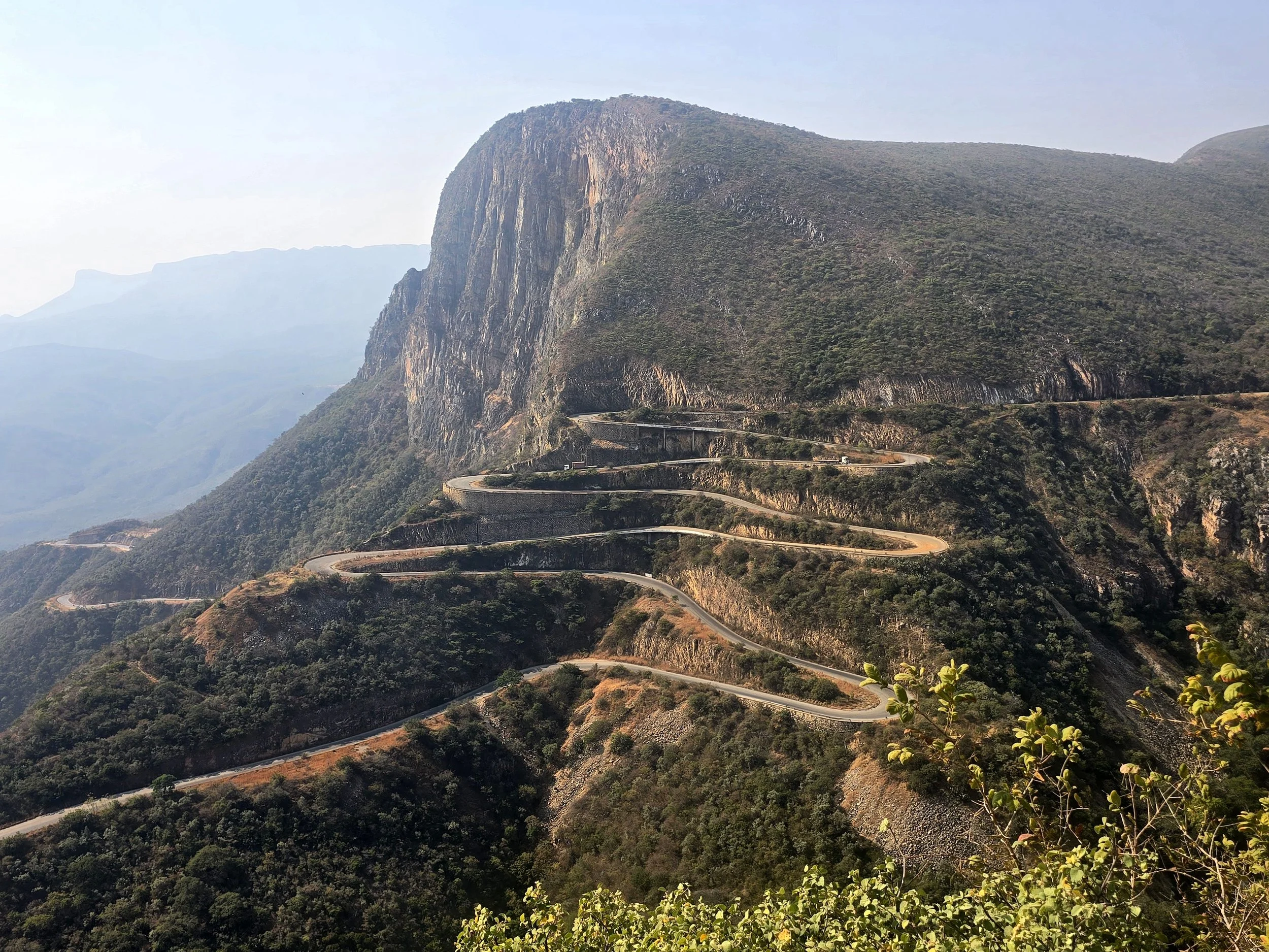
Having finally persuaded Bob to perform as a Defender rarely does, we were particularly pleased to discover that the next challenge involved a thousand-metre descent on a road consisting largely of hairpins. The Sera da Leba, built during the late Portuguese colonial period, is one of Angola’s great landscape spectacles. The asphalt snakes down the mountainside, a thin ribbon of tarmac, zigzagging down an enormous rocky wall, in a series of tight bends. It was certainly an elaborate way of getting from Lubango to Namibe
sera da leba
Unencumbered by mechanical failings, our route options south to the Namibian border were now wide open. The spectacularly remote Iona National Park was an option and so shunning the security of a 400 km stretch of relatively straight tarmac, we headed back towards the coast.
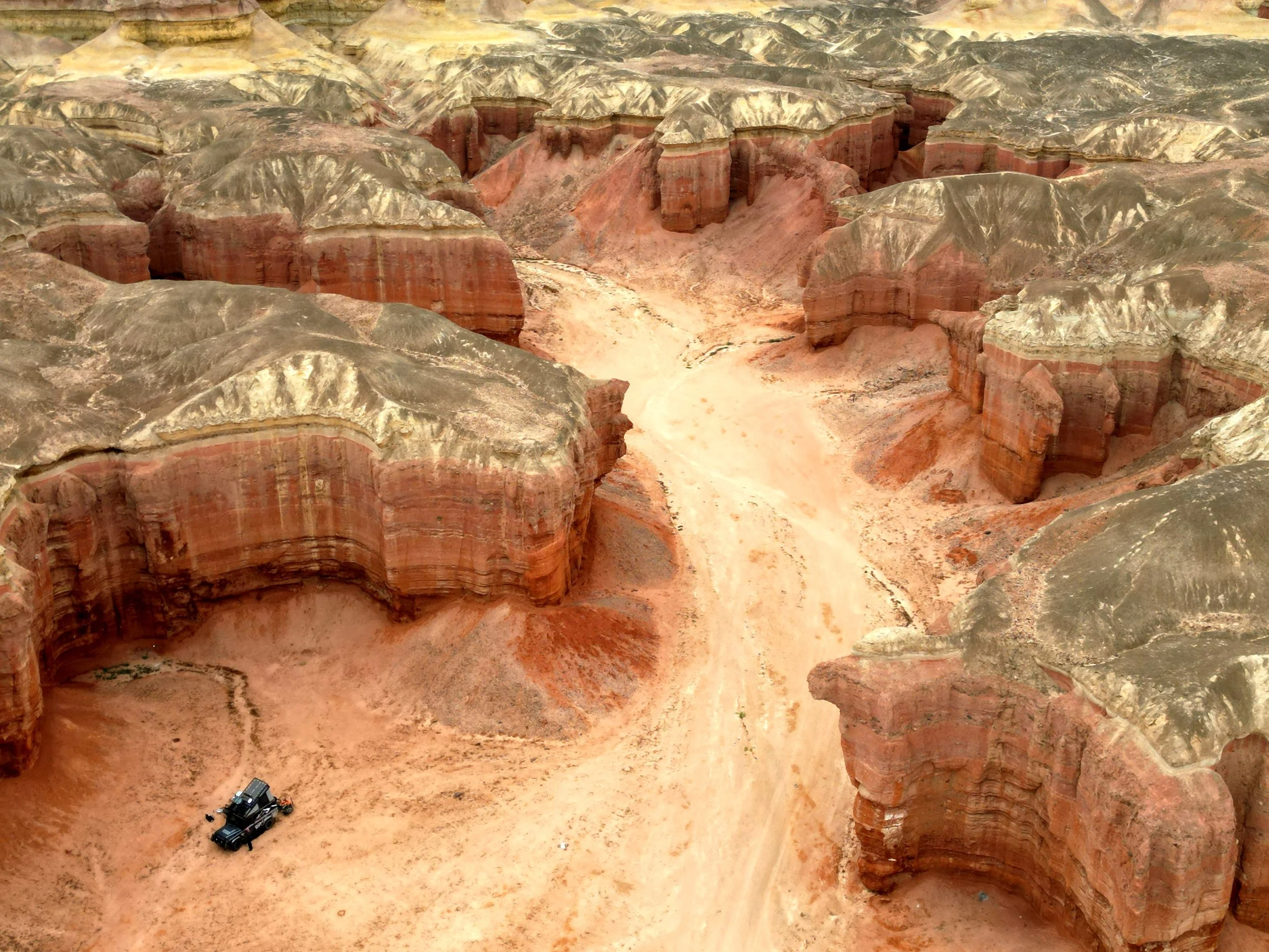
Iona, the largest of Angola’s Parks, is unusual in that it sits at the meeting point of desert, mountains and the Atlantic. It is the northern extension of the Namib Desert, the oldest desert in the world, yet supports a surprising variety of well-adapted wildlife and plant life.
colinas canyon
It took us three long jarring days to cross, but wow was it worth it. We encountered the semi-nomadic Himba for the first time – three beautiful young women who appeared out of nowhere - camped in Colinas Canyon, saw numerous springbok, witnessed the humiliation of a Defender being towed out by a Toyota and stopped alongside a large Welwitschia mirabilis. Looking rather forlorn, it deserved our respect. Despite appearing to have a large collection of tatty leaves, the plant actually produces just two, which grow continuously throughout its life, becoming increasingly long, shredded and untidy with age. With a life span that can extend for centuries, we guessed our specimen was getting on a bit.
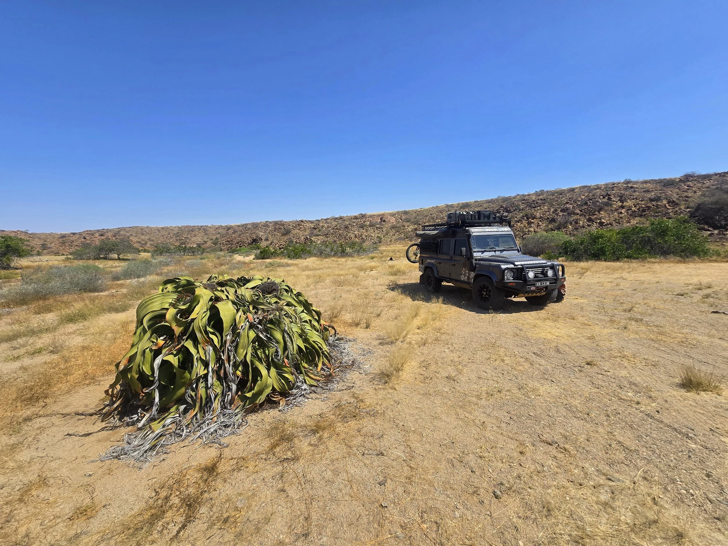
welwitschia mirabilis
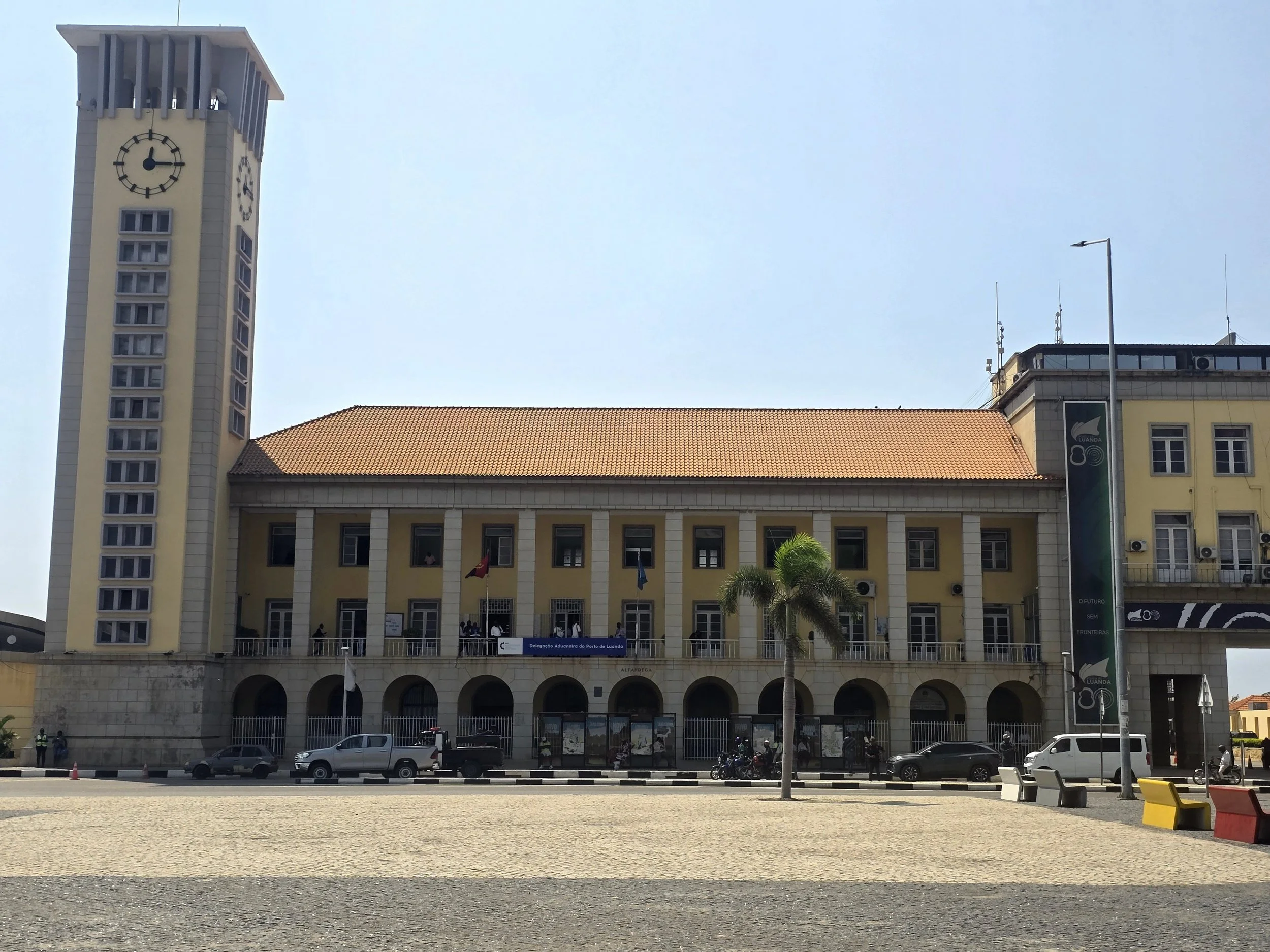
An ongoing problem in Angola was extending Bob’s Temporary Import Permit beyond the permitted 30 days. Using a combination of persistent loitering at government offices, creativity and overland networking, we did managed to renew this document three times; once officially through Luanda customs and twice unofficially with the help of Stefan Van Eck, one of those rare people who seems to know Angola from the ground up. An overlander, expedition leader and conservation guide, Stefan has spent years exploring the country’s more remote regions and assisting travellers’ such as ourselves with some of the more tricky bureaucratic conundrums. Despite all this assistance, we still arrived at the Ruacana border three days later than our documentation allowed.
This is a bittersweet juncture for us. Our journey through some of the world’s poorest countries is, for now at least, coming to an end as we cross into Namibia, a country the World Bank rather encouragingly classifies as an upper-middle-income economy.
The road behind us has not always been easy. There had been breakdowns, bureaucracy, questionable food, fuel shortages and enough uncertainty to make careful planning seem hugely optimistic. Yet, throughout it all, we have been met with ready smiles and an easy acceptance that has only ever felt genuine.
The strongest impression we will carry with us is not one of poverty, but of community. Despite difficult living conditions, we have witnessed resilience, adaptability and a remarkable ingenuity that repeatedly left us questioning our own capabilities. We arrived thinking we were reasonably self-sufficient; we continue with a rather more modest assessment of ourselves.